Industries
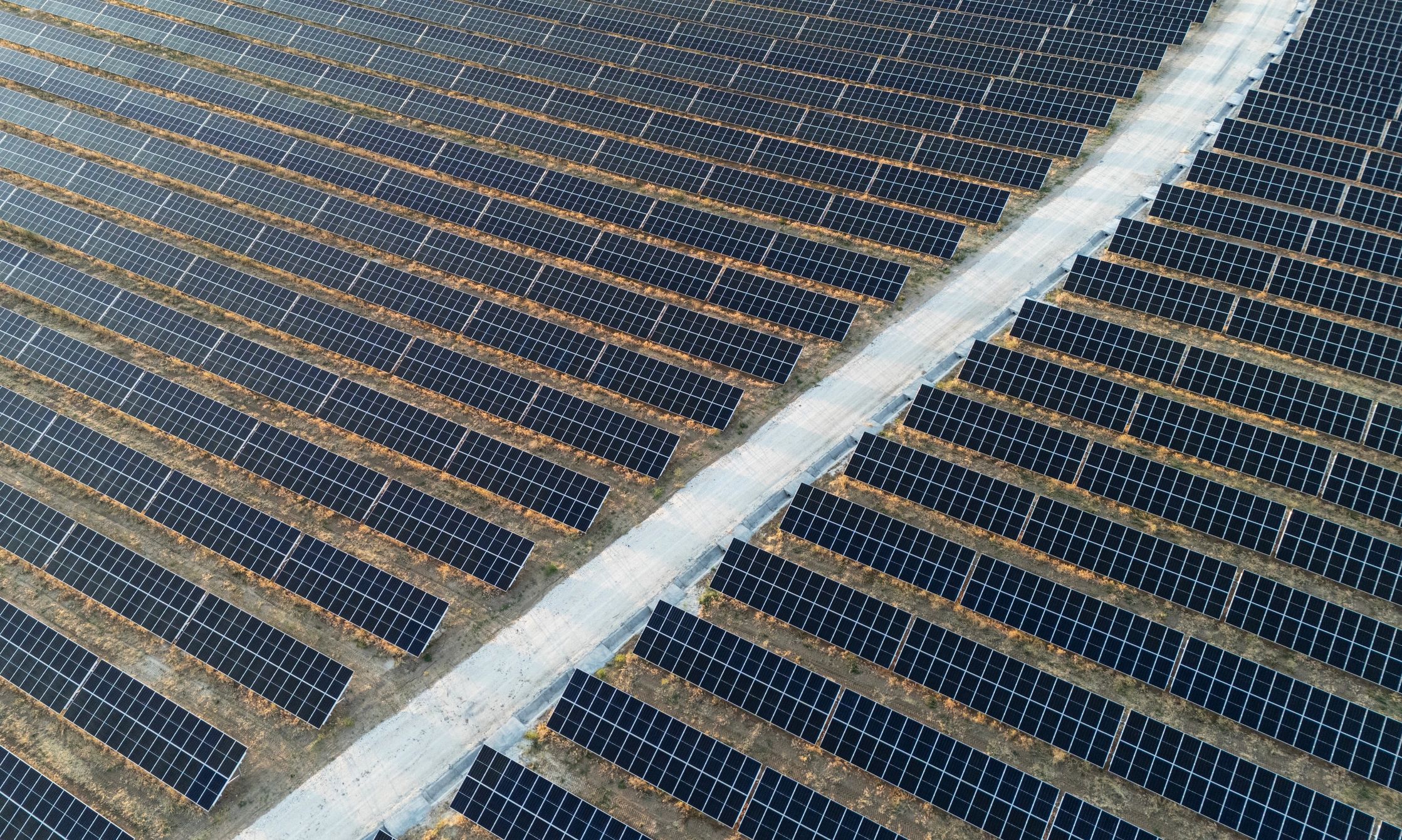
Solar Farm Inspection & Mapping—fast, accurate, and repeatable
Hermes Drone Solutions LLC supports solar asset owners, EPCs, and O&M teams with high-resolution aerial data capture for condition assessment, documentation, and performance-focused maintenance planning.
Why drones for solar
Actionable site intelligence with minimal disruption
Capabilities
Solar deliverables tailored to your workflow
We provide clear, decision-ready outputs for operations, engineering, and documentation—delivered in formats that integrate with your existing tools.
High-resolution visual inspection
Targeted thermal imagery of modules, racking, combiner boxes, inverters, and balance-of-system components to support issue identification and work orders.
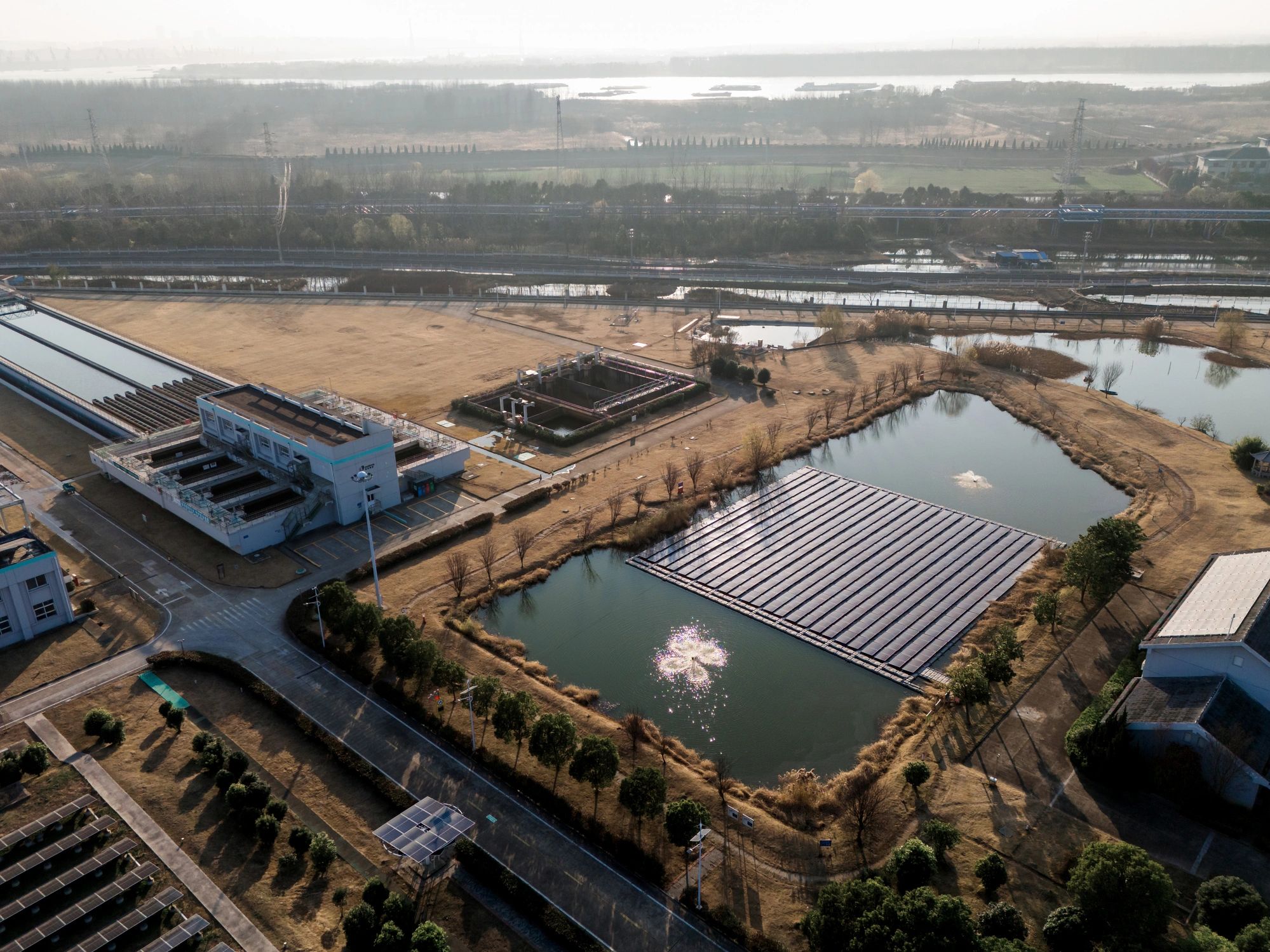
Orthomosaics & site maps
Georeferenced orthomosaics for asset documentation, layout verification, and communication across teams and contractors.
3D modeling & volumetrics (as needed)
Photogrammetry-based 3D models and measurements to support grading verification, drainage review, and construction or retrofit planning.
Construction-to-O&M documentation
Time-stamped progress captures and consistent reporting to support closeout packages, stakeholder updates, and long-term records.
Solar inspection FAQs
Common questions from solar owners, EPCs, and O&M teams.
What types of solar sites do you support?
Utility-scale solar farms, commercial rooftop arrays, and construction-phase sites. We can travel throughout Oklahoma and surrounding states, and beyond as needed.
Do you provide thermal inspections?
If thermal capture is required, we can scope the mission around your objectives (screening, targeted troubleshooting, or documentation) and specify deliverables accordingly.
What do you need from us to start?
Site location, approximate acreage, access requirements, and your inspection goals. If you have a preferred deliverable format (GIS/CAD/reporting), include that as well.
How quickly can you deliver results?
Turnaround depends on site size and deliverables, but most projects are delivered quickly with clear milestones agreed during scoping.
Can you repeat the same flight plan for trend tracking?
Yes. We can standardize flight parameters and capture locations to support consistent comparisons across inspection cycles.
Are you insured and compliant for commercial work?
Every operator has a current FAA Commercial Drone Operator Certificate (FAA Part 107); and we are fully insured with liability limits that exceed most contract requirements. We operate professionally and can provide project-specific documentation during the quoting process, including safety and operational details as required.