Services
Aerial Locating & Recovery
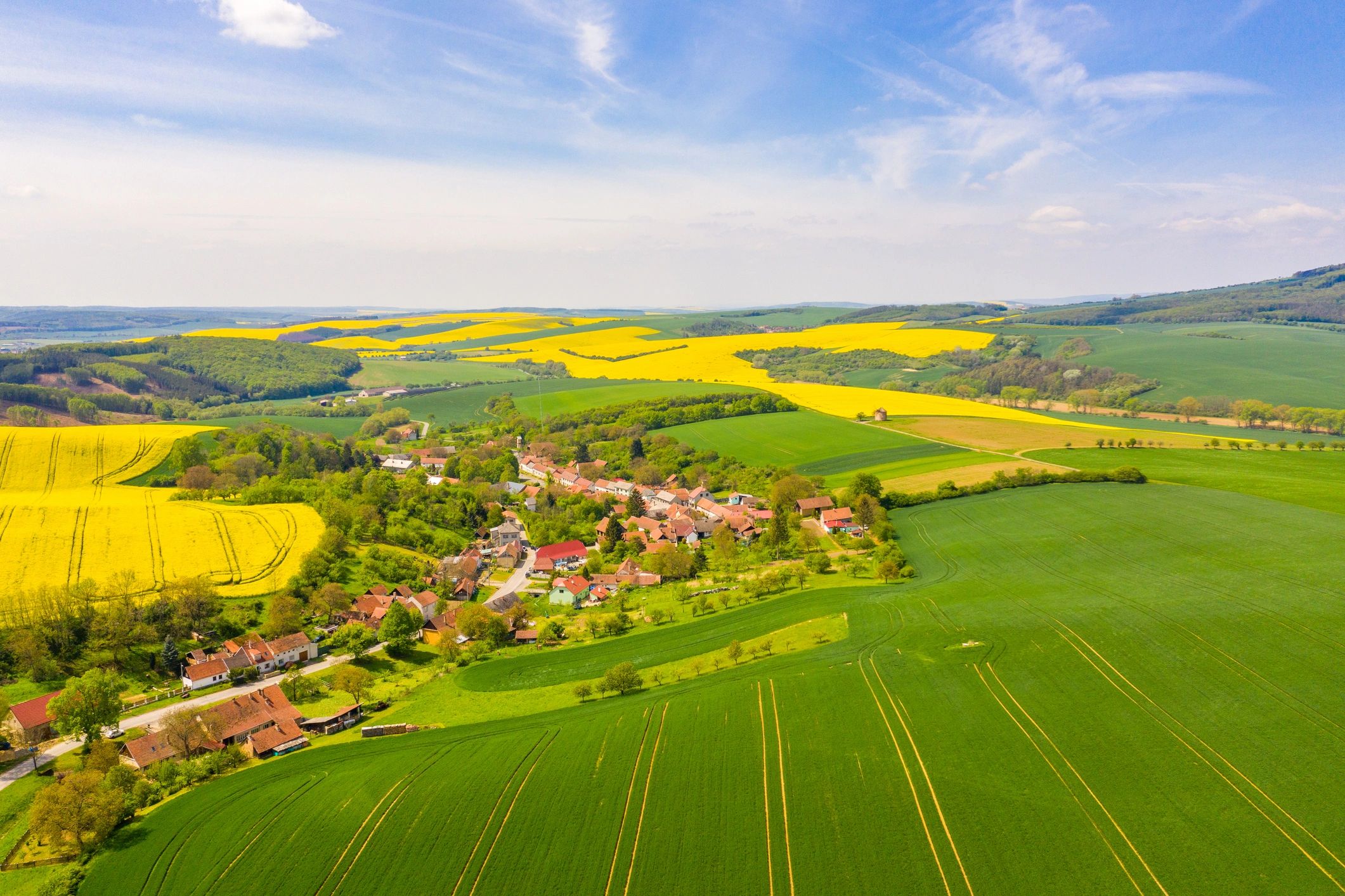
Rapid-response aerial support to help locate lost pets, livestock, or assist with game recovery using wide-area coverage, targeted search patterns and thermal imaging—delivering clear visuals to guide ground teams efficiently.
How The Service Works
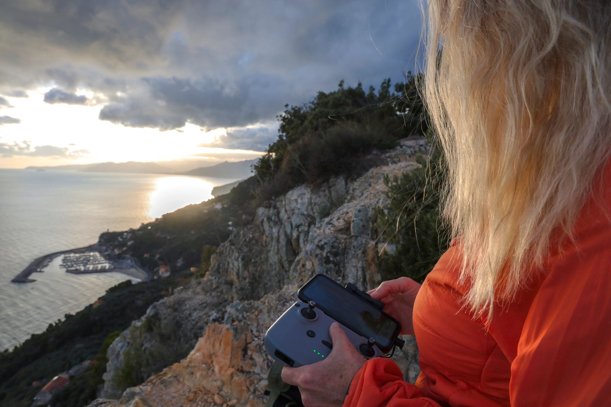
We plan a search area, establish safe flight operations, and fly systematic patterns to cover ground quickly. When appropriate, we can prioritize likely travel corridors and points of interest to improve efficiency.
Deliverables can include geo-referenced imagery, annotated findings, and a concise summary to support next steps. All operations are conducted with safety and regulatory compliance as the priority.
Capabilities
Designed for time-sensitive searches
Wide-Area Coverage
Efficient flight patterns to scan large tracts of land faster than ground-only efforts.
Targeted Re-Checks
Re-fly high-probability areas and refine the search as new information becomes available.
Clear Documentation
Shareable visuals and marked locations to coordinate with owners, handlers, or recovery teams.
Safety-First Operations
Pre-flight planning, airspace awareness, and risk controls appropriate to the environment.
FAQ
Aerial Locating & Recovery Questions
Answers to common questions about response time, coverage, and what to expect during a search.
*Hermes Drone Solutions LLC does provide herd monitoring and game management services, however, game management services end August 31st and does not resume until all applicable hunting seasons have ended.
**Hermes Drone Solutions LLC does not and WILL NOT provide game scouting services as it is strictly forbidden by law. If it is suspected that a person has misrepresented their intentions and attempted to use our services for such activity, it will result in loss of deposit and immediate notification of the proper law enforcement agency.