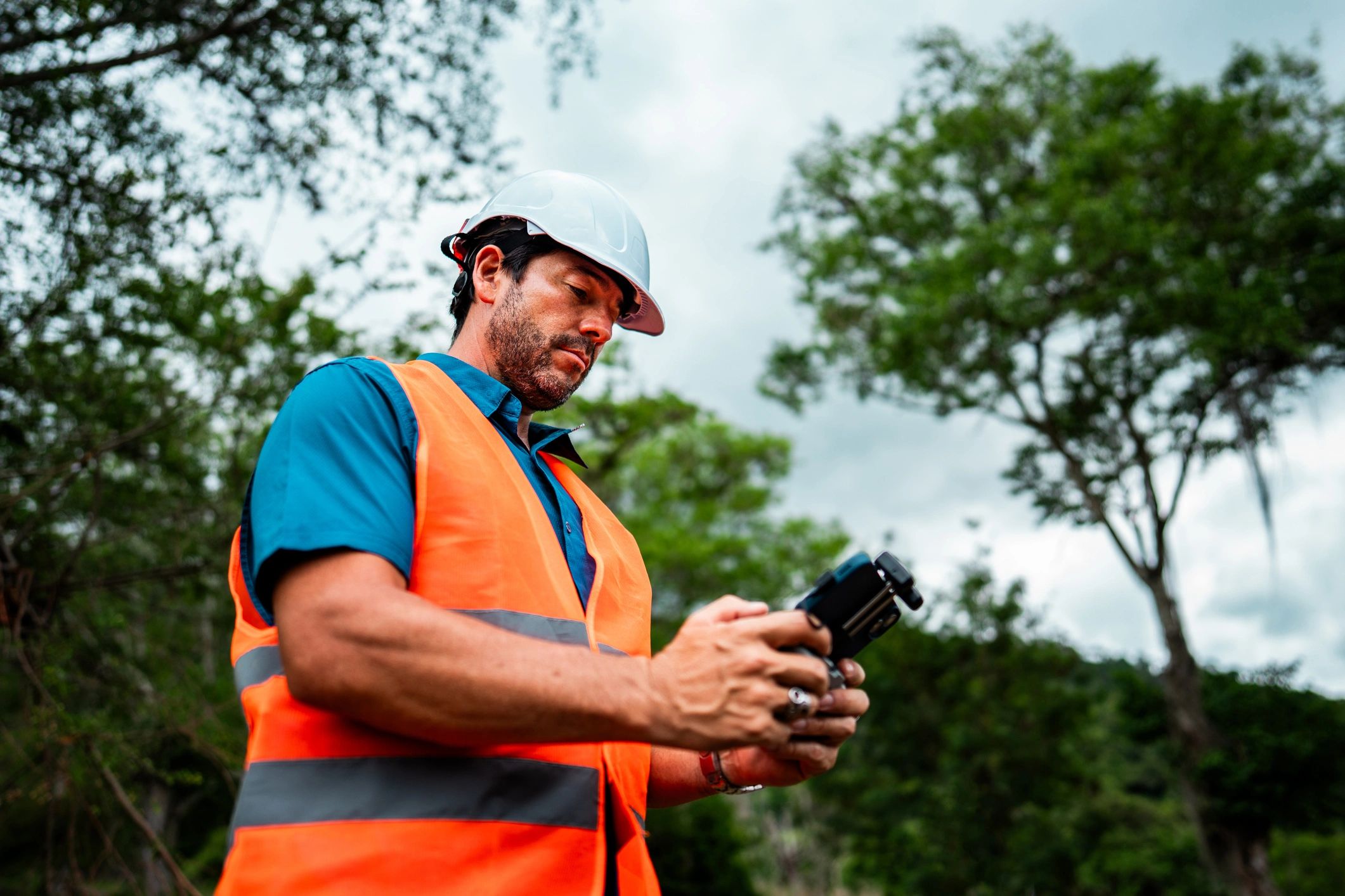
Hermes Drone Solutions LLC
Professional drone services for mapping, inspections, and aerial media
From survey-ready 2D/3D mapping and photogrammetry to infrastructure and roof inspections, we deliver accurate data and clear visuals—on schedule and ready for decision-making.
Service offerings
Select a service below to understand typical deliverables and best-fit use cases. For complex projects, we can combine services into a single scope of work.
Aerial 2D/3D Mapping & Modeling
Orthomosaics, point clouds, and 3D models tailored to your accuracy and workflow requirements.
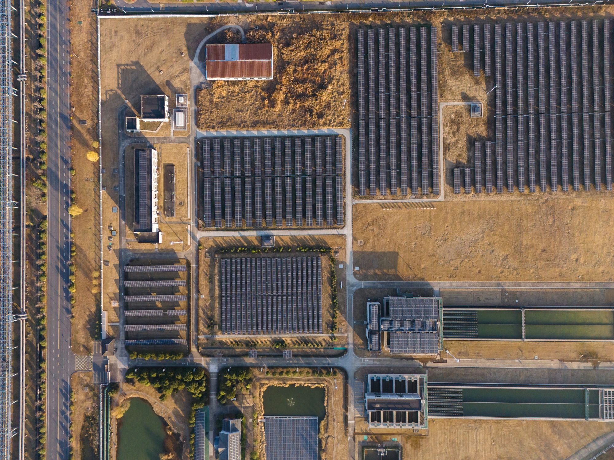
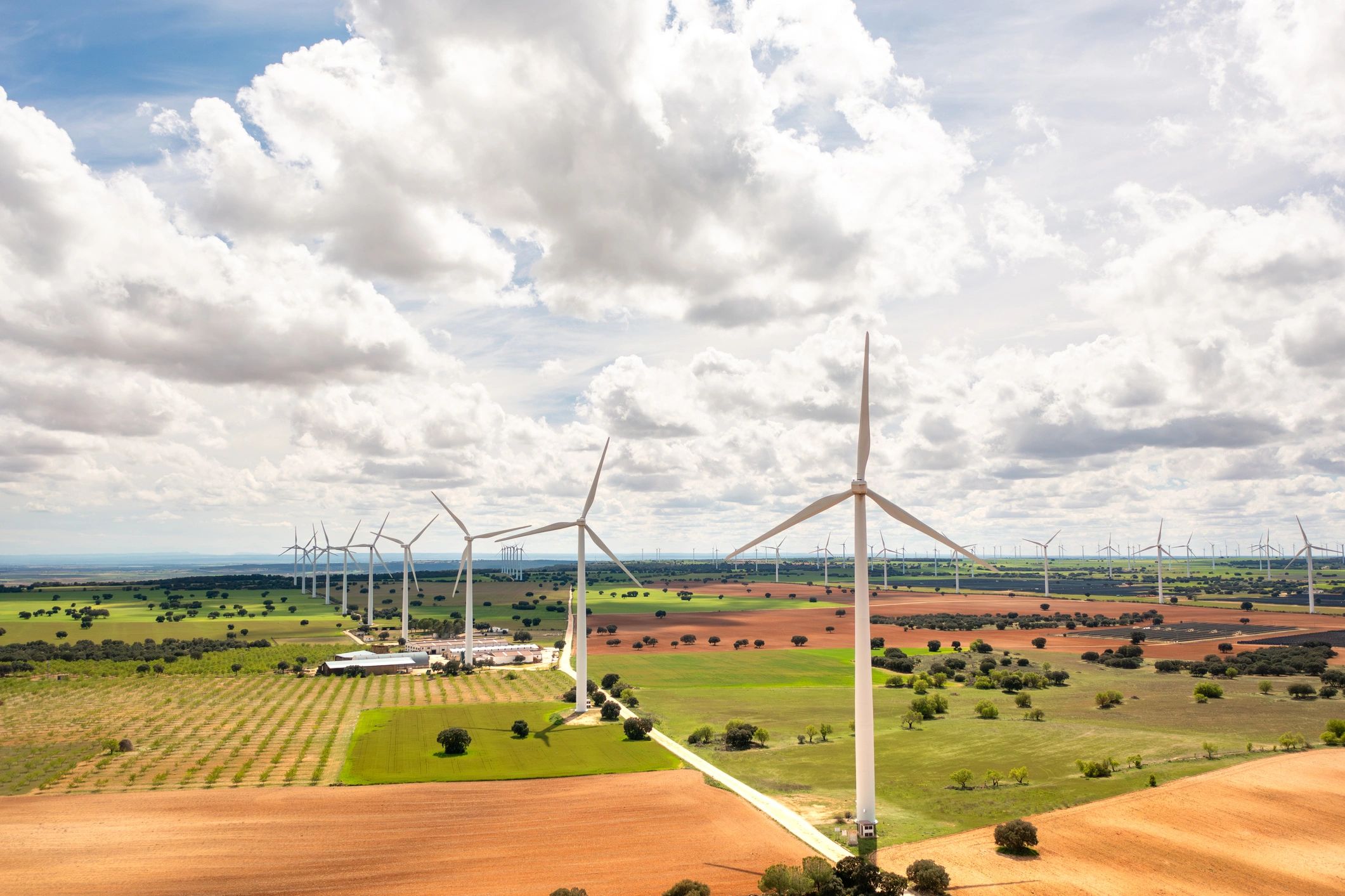
Infrastructure Inspection
Visual data capture for solar, wind, utilities, telecom, and industrial assets—reducing risk and downtime.
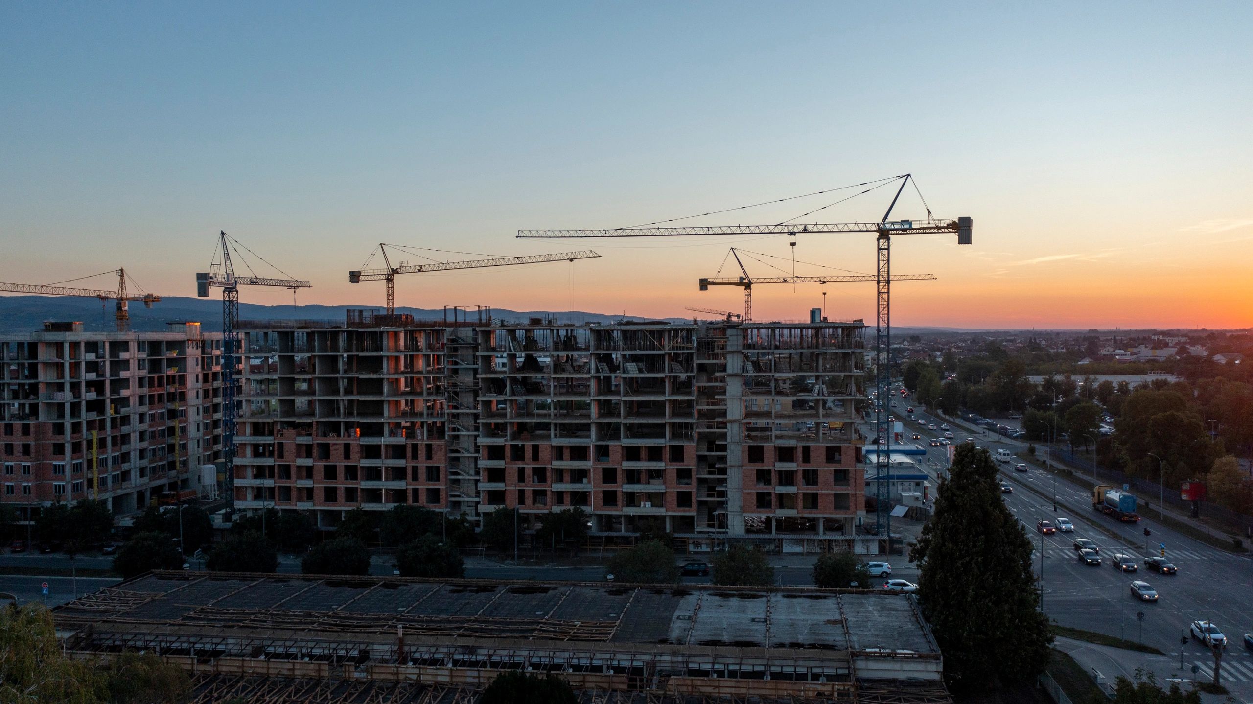
Construction Progress Monitoring
Recurring captures and consistent reporting to document progress and support stakeholders with time-stamped visuals.
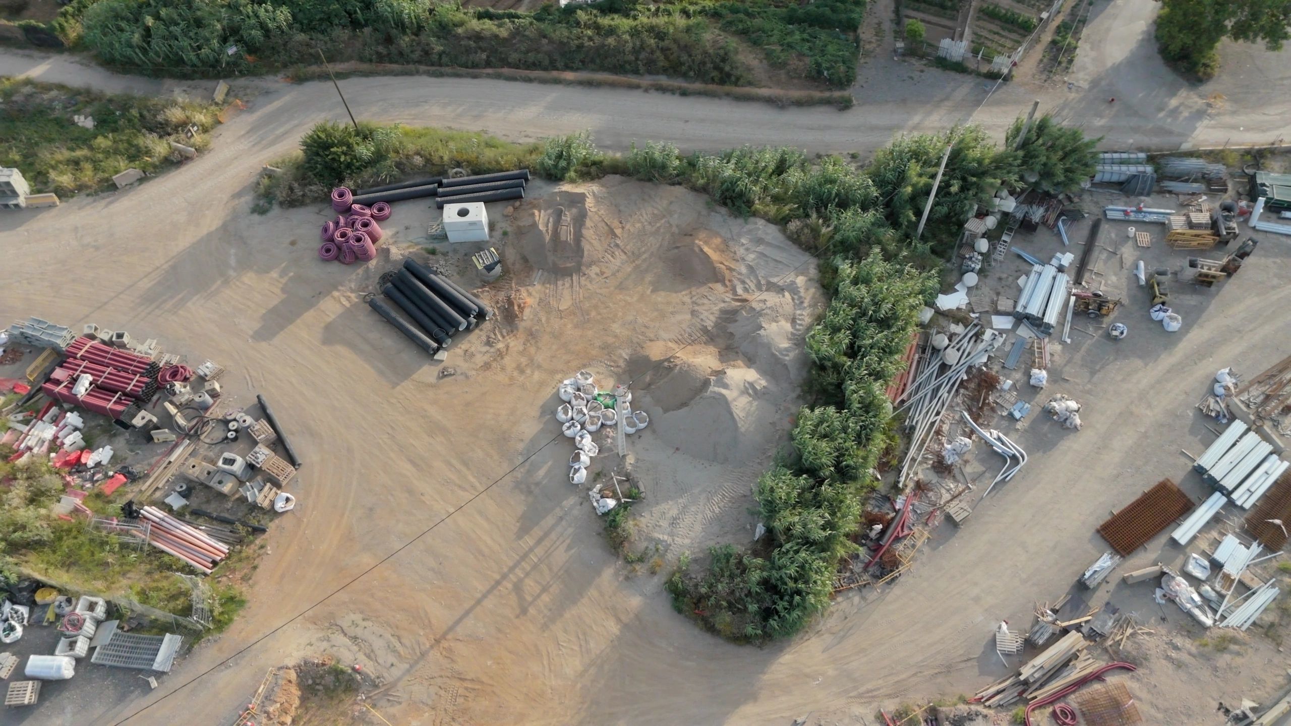
Stockpile Estimation
Volumetric measurements for aggregates and materials to support inventory tracking and reporting.

Roof Inspection
Clear aerial imagery for maintenance planning, insurance documentation, and contractor estimates.
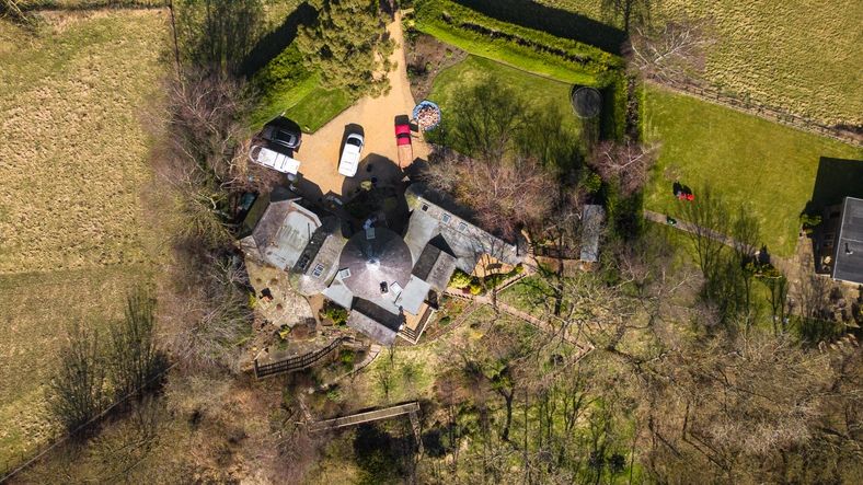
Real Estate Aerial Photo & Video
High-quality aerial photos and video to showcase properties, land, and amenities for marketing and documentation.
Specialty services
Additional capabilities for specialized needs
For energy, industrial, and time-sensitive requests, we provide rapid scheduling, consistent capture standards, and deliverables designed for clear communication across teams.
Aerial Locating & Recovery
Rapid-response aerial support to help locate lost pets/animals or assist with game recovery using wide-area coverage and targeted search patterns.
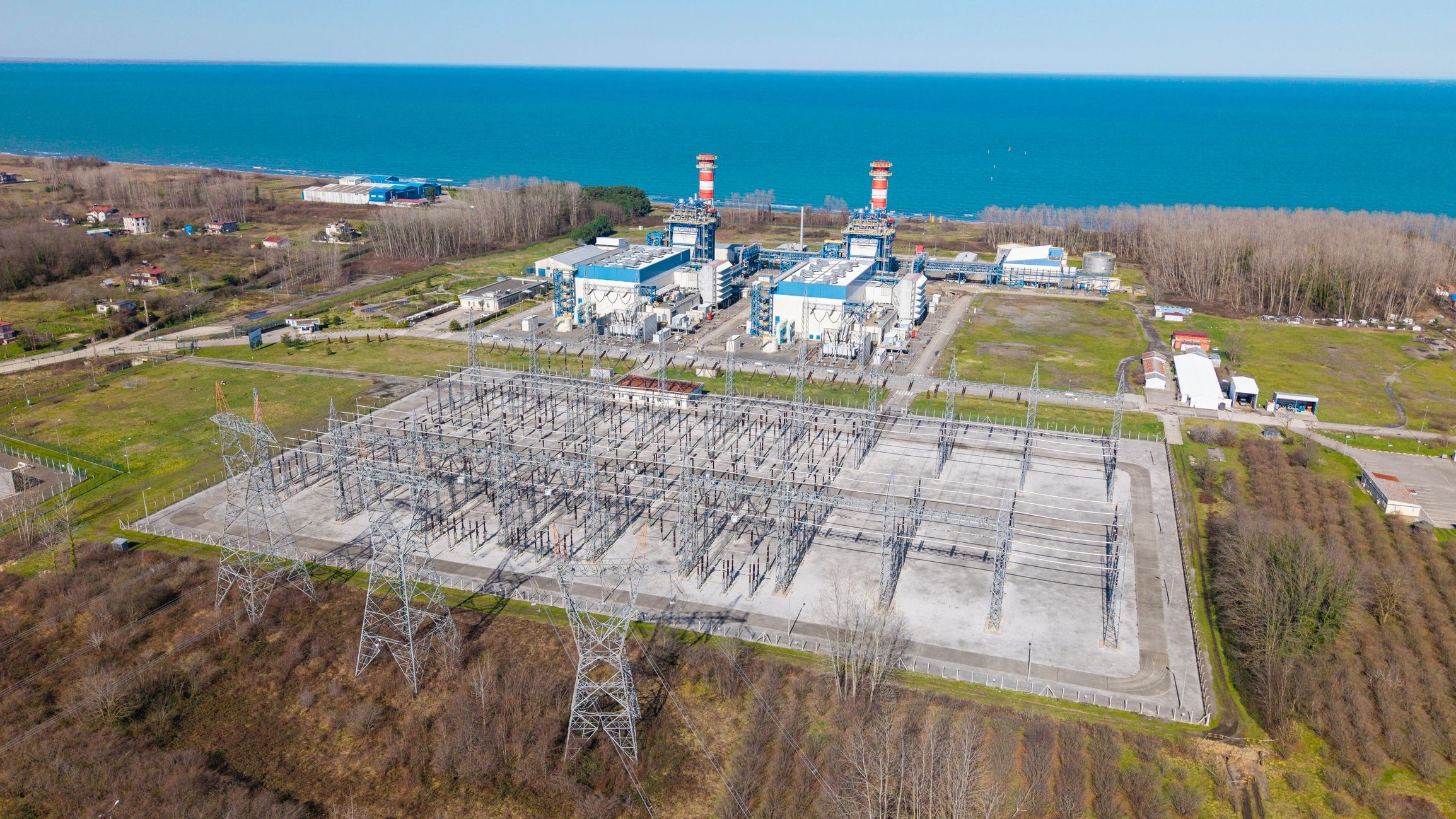
Utility Line & Substation Inspection
Aerial documentation of poles, lines, and substations to support condition assessment, vegetation management, and maintenance planning.
Cell Tower Drone Inspection
High-resolution visual capture to support telecom maintenance planning and documentation while minimizing climb-related risk.
Oil & Gas / Drill Site Monitoring
Aerial monitoring and documentation for drill sites and energy projects—supporting planning, progress reporting, and stakeholder updates with consistent visuals and mapping deliverables.
What clients value
Every project is scoped to your objectives, timeline, and deliverable requirements.
★★★★★
“Hermes delivered clean, well-organized mapping outputs that integrated smoothly into our workflow. Turnaround time was excellent.”

Project Manager
Civil Construction
★★★★★
“The inspection imagery was detailed and consistent across assets, which made issue identification and reporting straightforward.”
Operations Lead
Renewable Energy
★★★★★
“Professional communication, clear deliverables, and dependable scheduling. We will continue to use Hermes for ongoing monitoring.”
Site Superintendent
Industrial Projects