Mapping & Modeling
Survey-Grade, cm Accuracy Drone Mapping and 3D Modeling
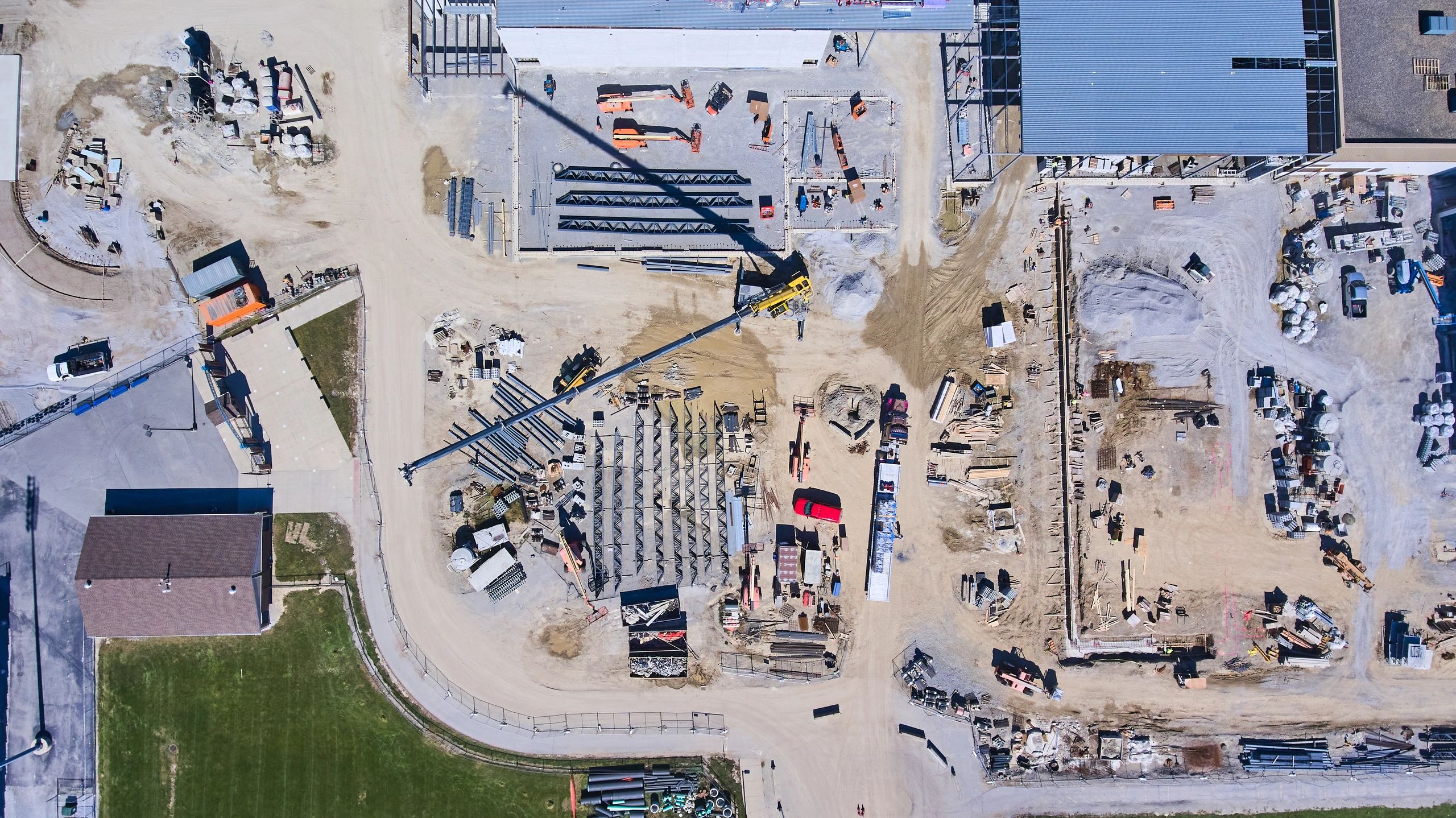
Hermes Drone Solutions LLC produces high-resolution orthomosaics, point clouds, and 3D models to support surveying, engineering, construction, and documentation. Deliverables are tailored to your accuracy requirements and workflow.
Deliverables
Outputs That Integrate with Your Team’s Tools
We capture consistent, georeferenced imagery and generate mapping products that support measurement, planning, and reporting. Common deliverables include:
2D Orthomosaic Maps
High-resolution, georeferenced orthomosaics suitable for measurements, site documentation, and stakeholder updates.
3D Point Clouds
Dense point clouds for surface analysis, as-builts, and engineering review (formats tailored to your workflow).
3D Mesh Models
Photorealistic 3D models for visualization, coordination, and documentation of existing conditions.
Digital Surface / Terrain Models
Surface and terrain products to support grading, drainage review, and planning—based on project requirements.
How we work
A Repeatable Process for Accurate Results
From pre-flight planning to final delivery, we follow a consistent workflow designed to reduce rework and keep your project moving.
✔
Plan & capture
We define the area of interest, required resolution, and deliverables, then fly with consistent overlap and coverage.
✔
Process & validate
We generate mapping outputs and perform quality checks so your deliverables are clear, usable, and on-spec.
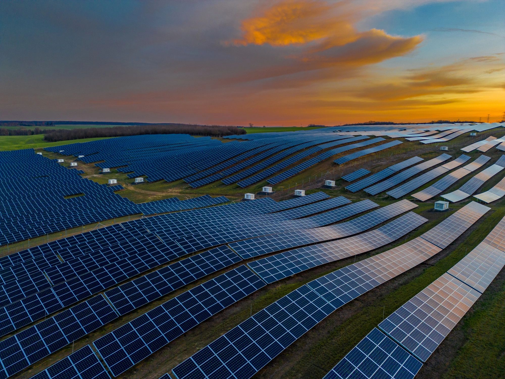
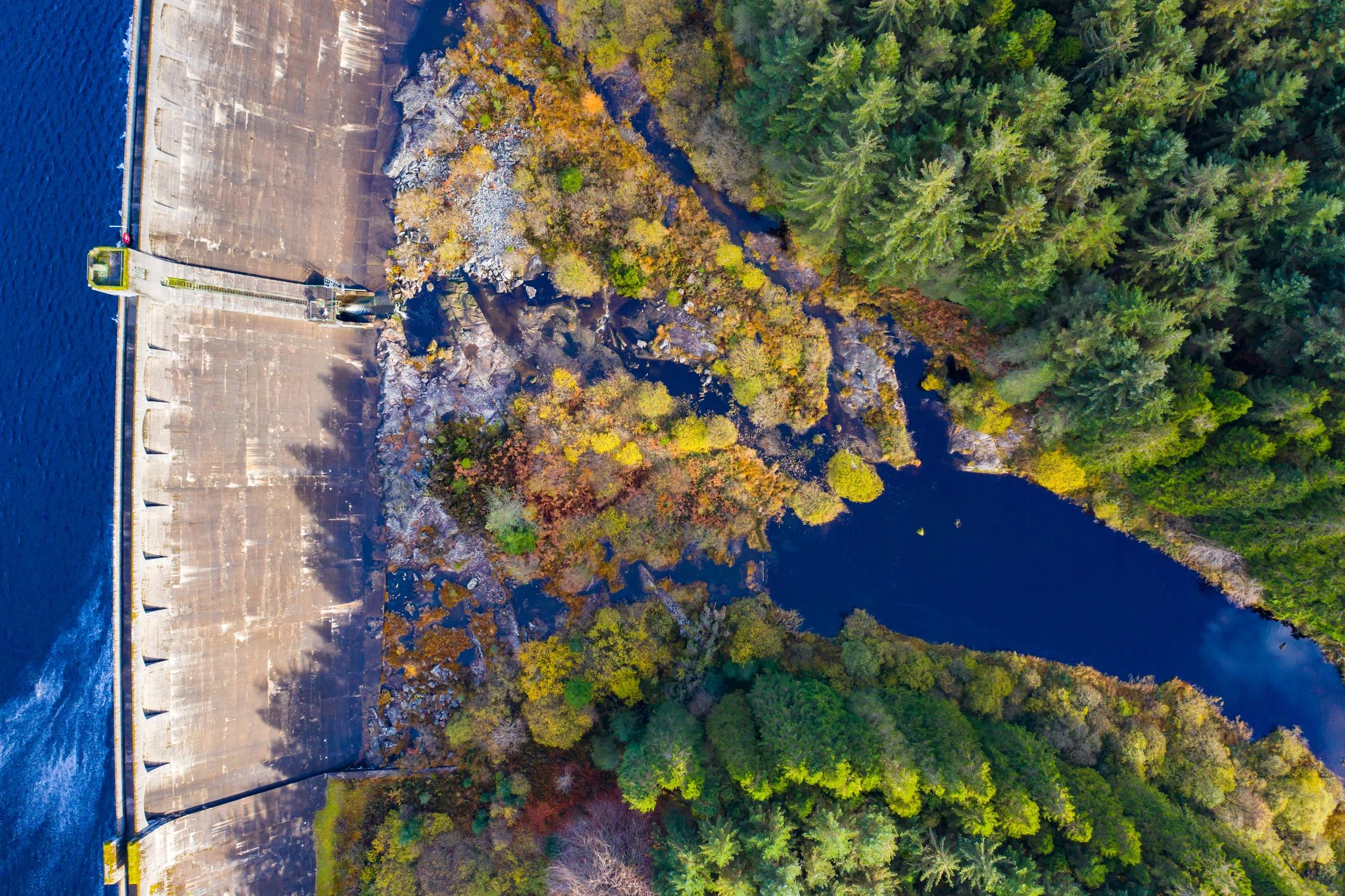
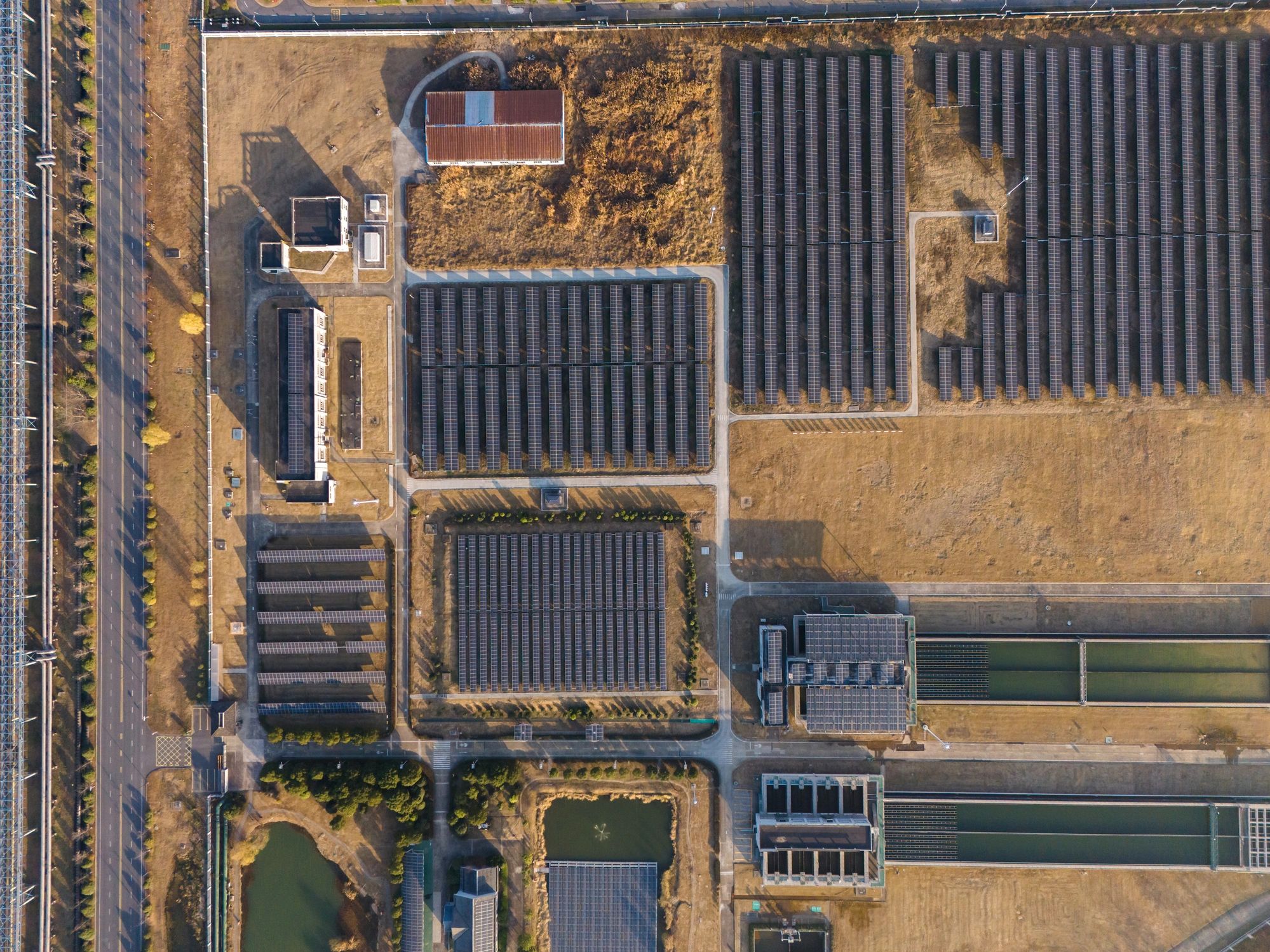
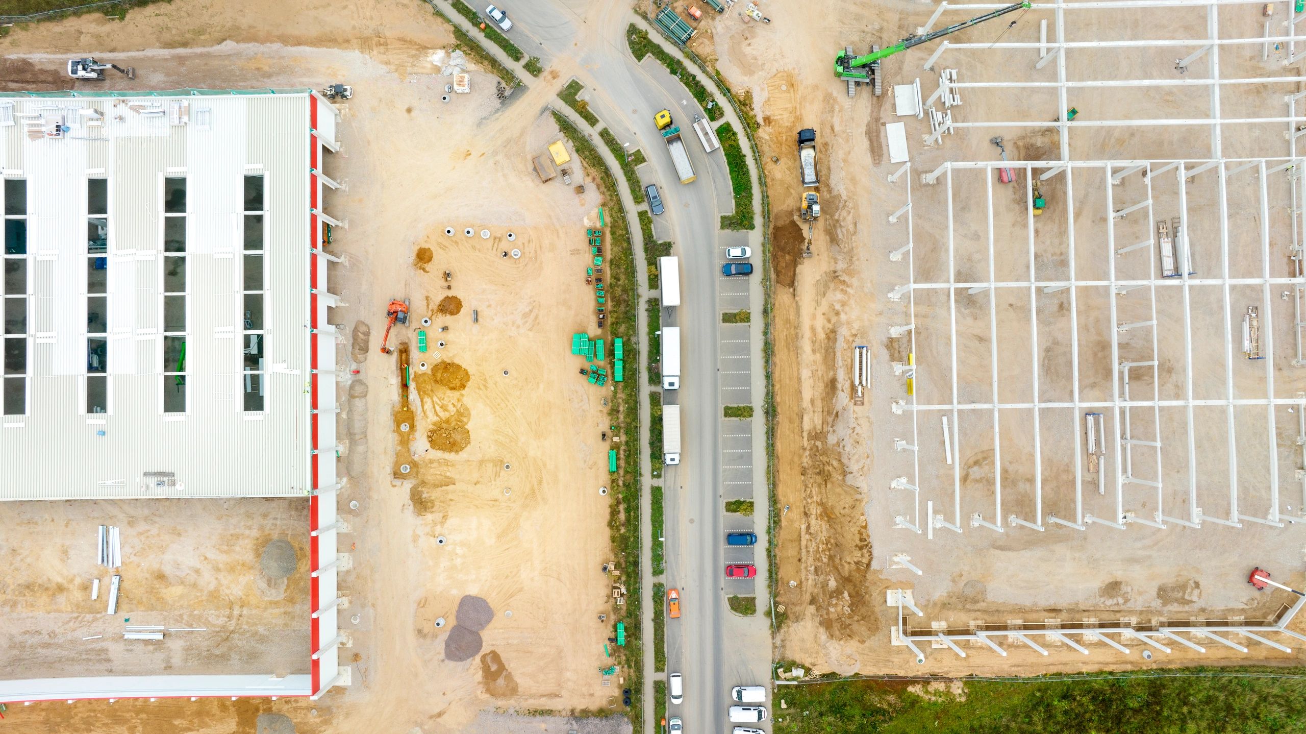
Mapping Applications Across Industries
Typical mapping and modeling engagements include construction documentation, civil sites, renewable energy assets and large-area property mapping.