Industries
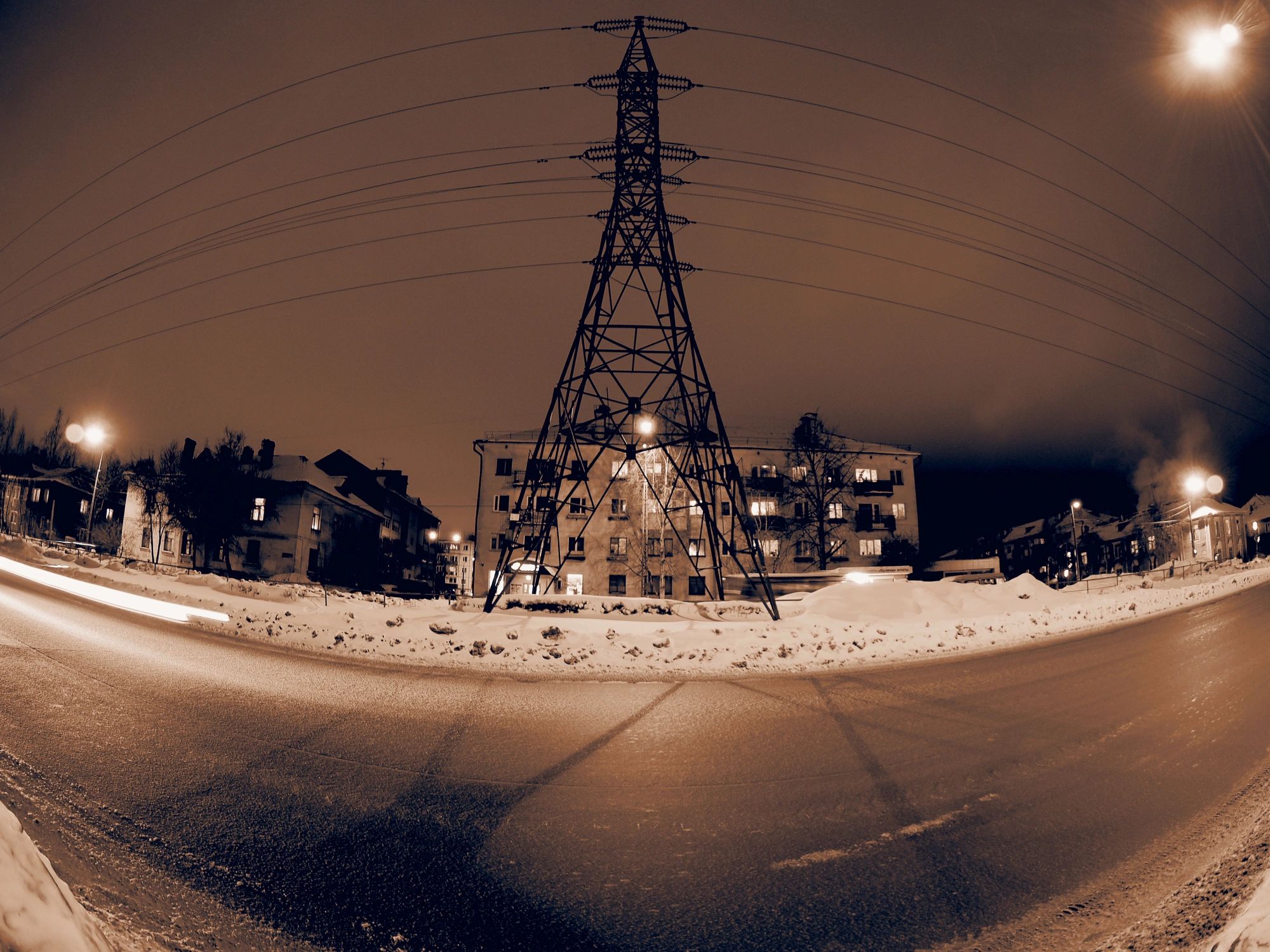
Utilities & Electric Grid Drone Inspection
Improve situational awareness and reduce field risk with high-resolution aerial data for transmission, distribution, and substation assets. Hermes Drone Solutions LLC delivers fast, repeatable captures that support maintenance planning, storm response, and documentation.
Inspection & Mapping Use Cases for Utility Assets
Targeted aerial data capture for critical infrastructure—configured to your asset type, access constraints, and reporting needs.
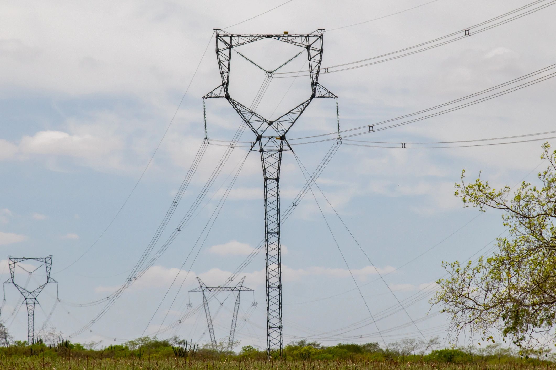
Transmission & Distribution Line Patrols
Identify vegetation encroachment, damaged hardware, and right-of-way concerns with repeatable flight paths and clear visual documentation.
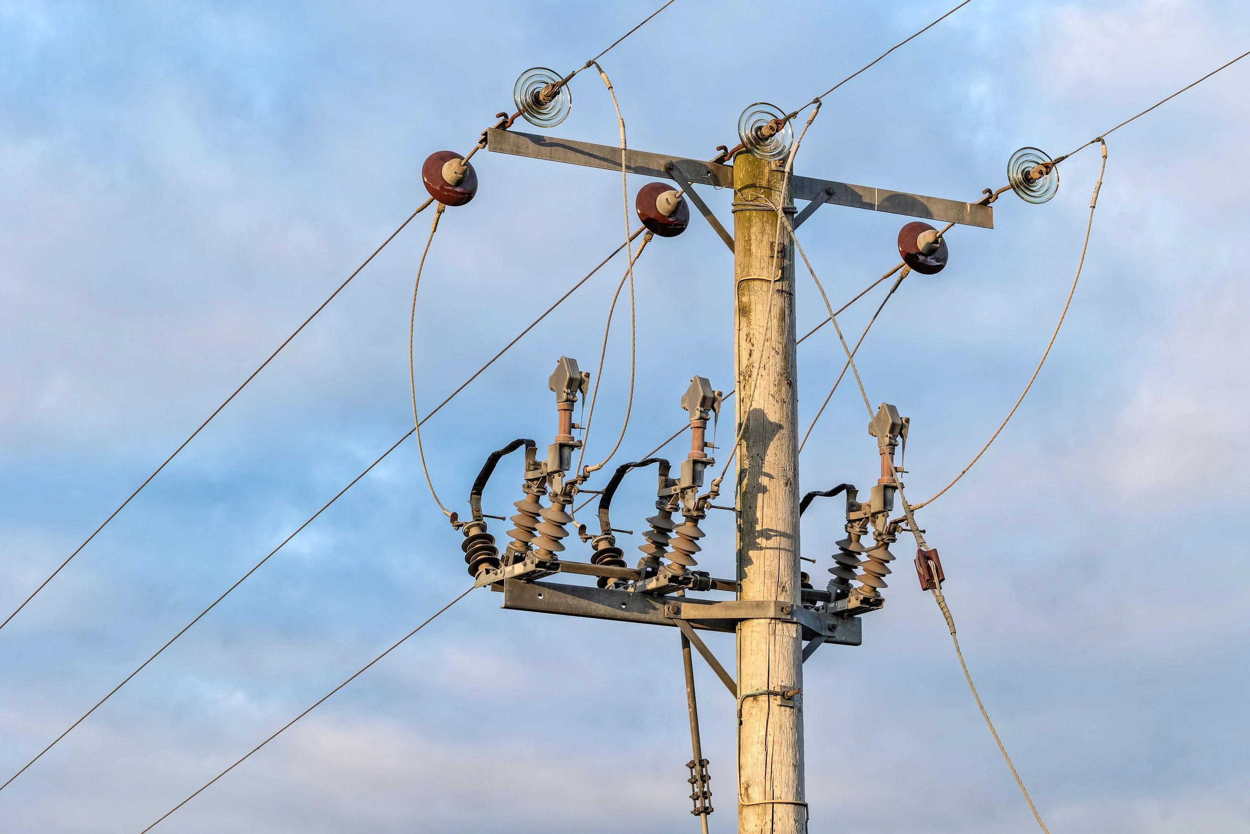
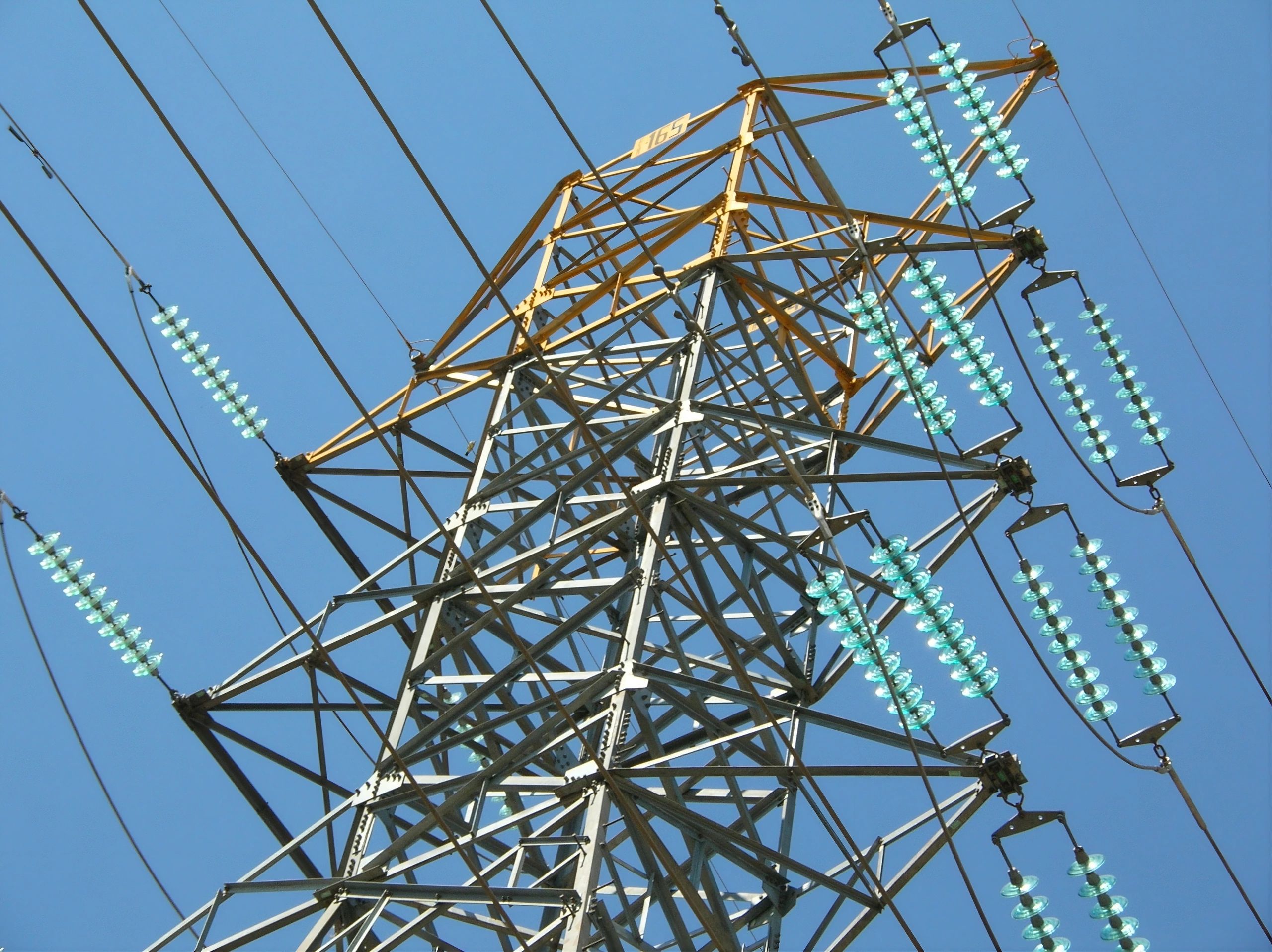
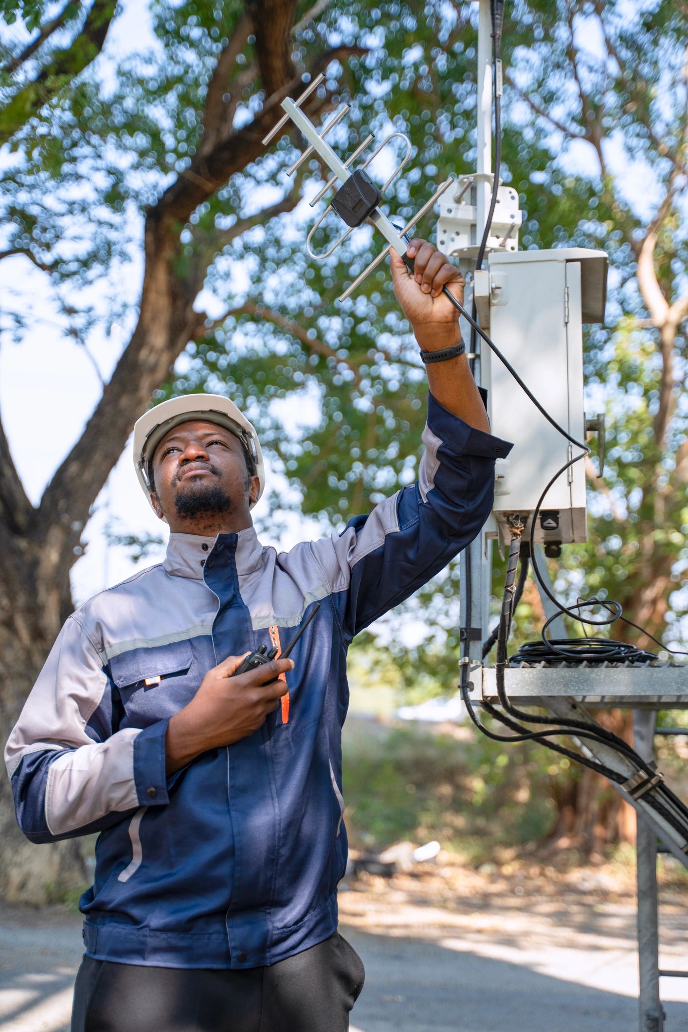
Pole-Top & Hardware Documentation
Capture detailed imagery of insulators, crossarms, connectors, and attachments to support maintenance planning and work orders.
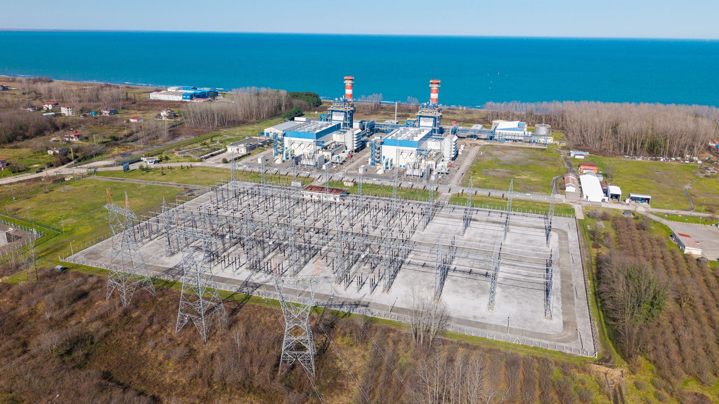
Substation Visual Surveys
Rapid, high-resolution overviews of substation yards and equipment to support condition documentation and project coordination.
Storm & Emergency Damage Assessment
Accelerate situational awareness after severe weather with aerial overviews that help prioritize dispatch and restoration.
Right-of-Way & Corridor Mapping
Orthomosaics and 3D context models for planning, easement documentation, and corridor change detection.
Construction & Upgrade Monitoring
Time-stamped progress captures for rebuilds, reconductoring, and substation upgrades—ideal for stakeholder reporting.
Why drones for utilities
Actionable data—captured safely and consistently