About Hermes Drone Solutions LLC
Accurate aerial data and clear visuals—delivered with discipline and attention to detail.
Hermes Drone Solutions LLC provides professional sUAS mapping, inspection, and aerial media services for infrastructure operators, engineering teams, and property owners across Oklahoma and surrounding states.

Our Mission
Make field decisions easier with dependable drone deliverables.
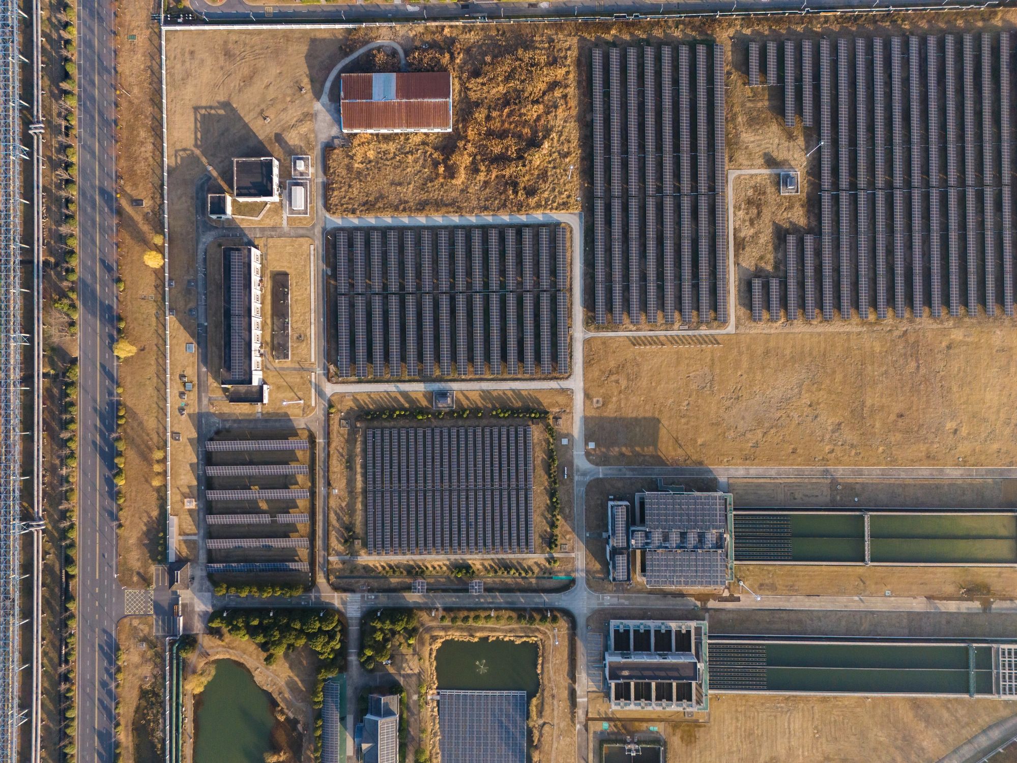
We help teams capture the site truth quickly—so planning, maintenance, and reporting are based on current, measurable information.
From orthomosaics and 3D models to close-range visual inspections, our work is designed to reduce uncertainty, improve safety, and keep projects moving.

How we work
A consistent process that supports accurate outputs, clear communication, and predictable turnaround.

01 • Plan
Define the objective and deliverables
We confirm the site scope, accuracy requirements, and the format you need—so the flight plan and processing workflow match your end use.
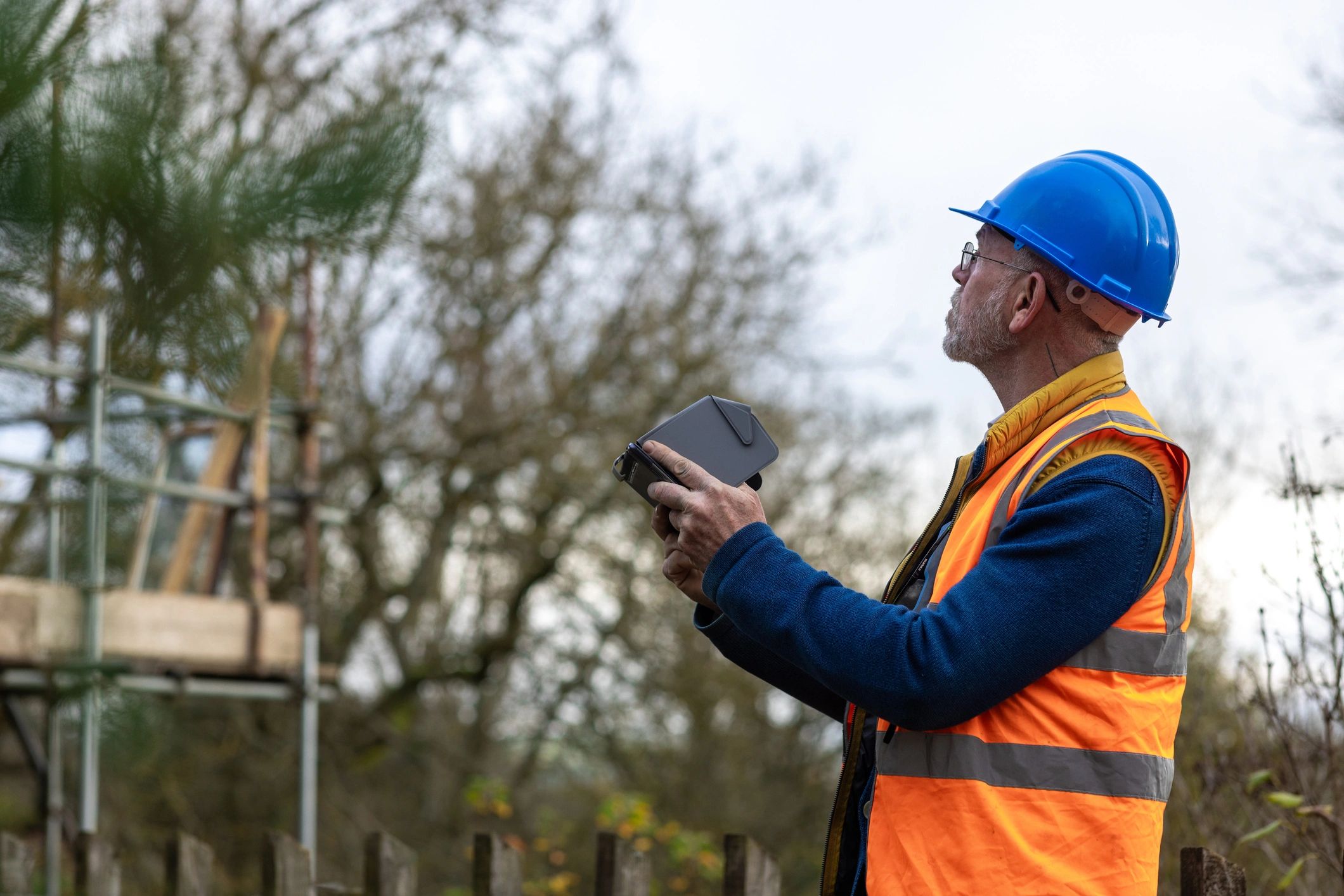
02 • Capture
Collect high-quality imagery and data
We capture consistent, repeatable datasets for mapping and inspections—minimizing downtime and reducing the need for rework.

03 • Deliver
Process, verify, and report clearly
You receive organized outputs and straightforward reporting—ready to share with stakeholders or integrate into your tools.
Professional standards, practical outputs.
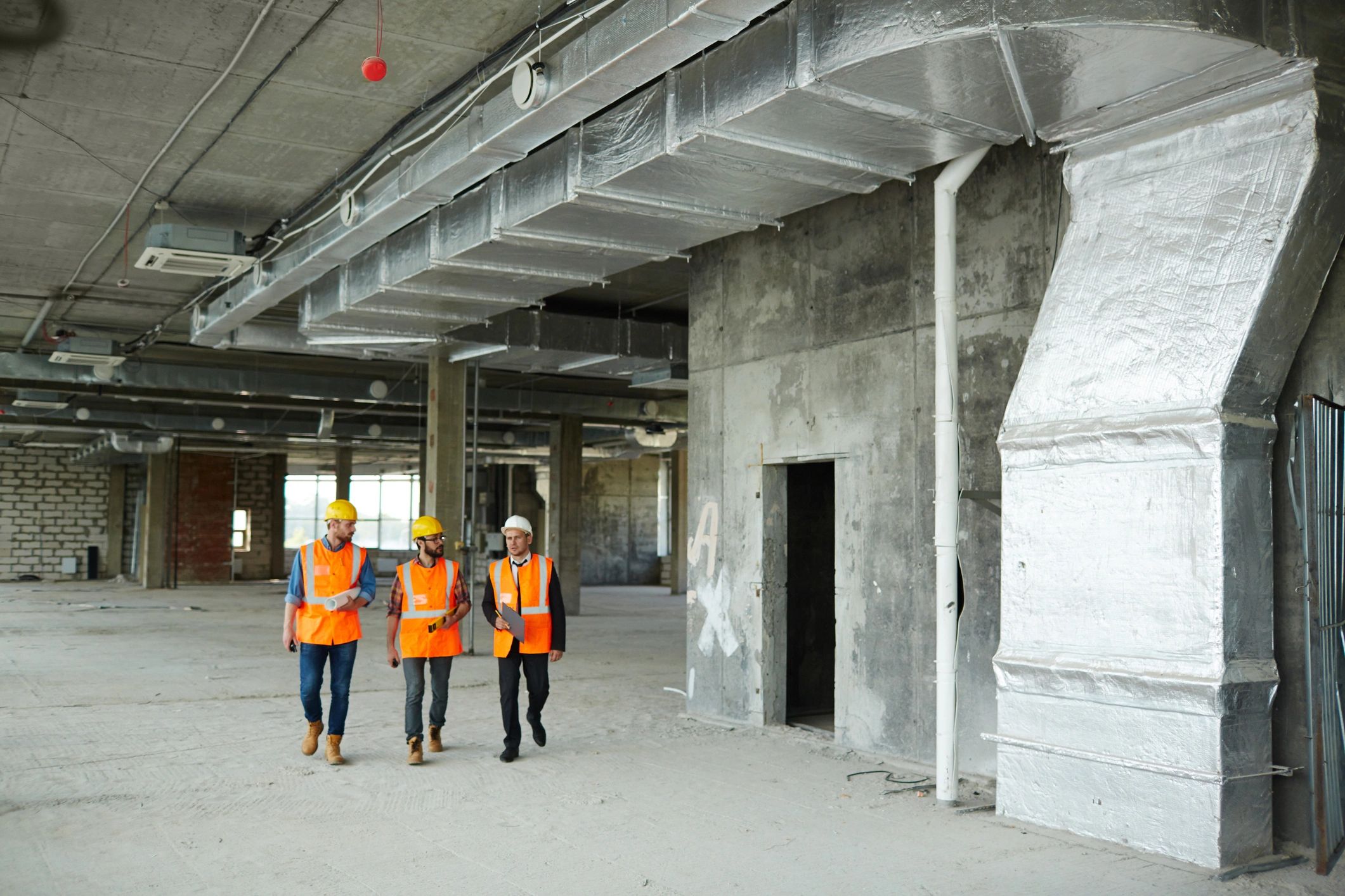
The team
Hermes Drone Solutions LLC is built around disciplined field operations, careful data handling, and client-ready reporting. When a project requires additional capacity, we scale responsibly with qualified support and personel.
Frank Hermes
Founder/Pilot In Command
Flight & Safety Ops, Data Capture, Data Processing
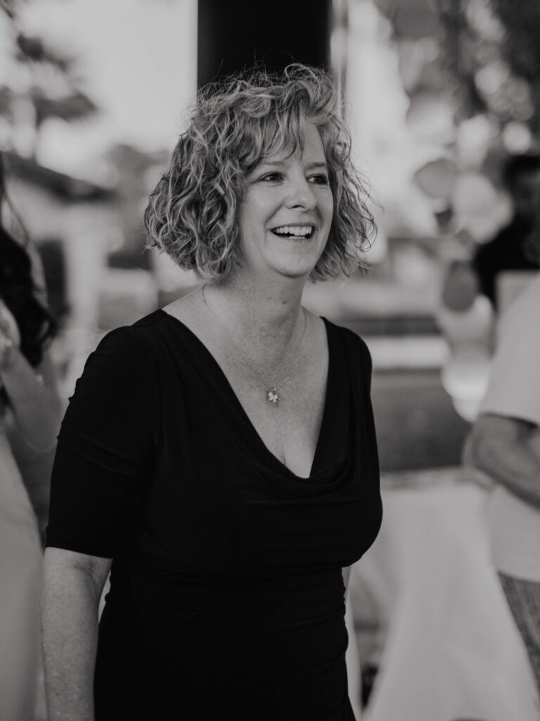
Cindy Hermes
Office Mngr/Client Coordinator
Client Coordination & Deliverables
Lyndsey Hermes
Data/Image Processing Specialist
Photogrammetry, Modeling & Cinematic/Photographic Processing
William Hermes
Field Support
Site Safety & Security Coordination
★★★★★
““Hermes Drone Solutions delivered organized mapping outputs and clear documentation that our team could use immediately. Communication was professional, and turnaround was faster than expected.””
Operations Manager
Infrastructure Asset Owner
Oklahoma