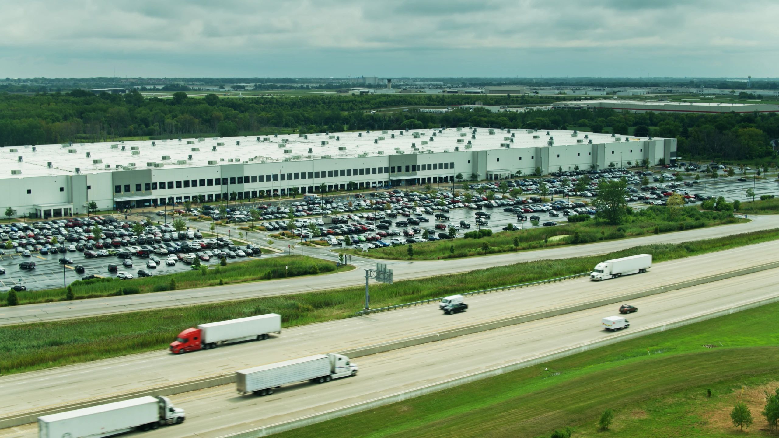
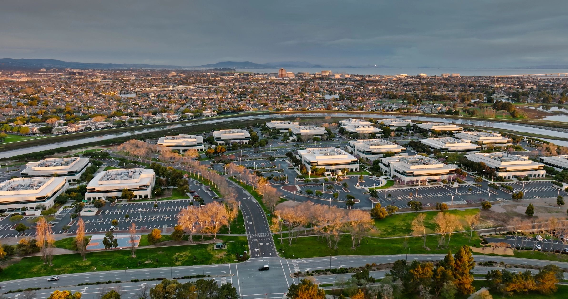
Industries • Data Centers & Server Farms
Drone mapping and inspection for mission-critical facilities
Hermes Drone Solutions LLC supports data center owners, operators, and contractors with high-resolution aerial documentation, 2D/3D mapping, and exterior inspections—delivering clear, time-stamped visuals while minimizing disruption to operations.
Why drones for data centers
Faster site intelligence with less downtime
What we deliver
Deliverables tailored to data center workflows
Choose the level of detail you need—from rapid visual documentation to engineered mapping outputs. Deliverables can be provided as shareable links, image sets, and standard GIS/CAD-friendly formats when requested.
High-resolution roof & exterior imagery
Detailed photo documentation of roof surfaces, parapets, penetrations, and exterior elevations—ideal for maintenance, contractor bidding, and post-event assessments.
2D orthomosaics for site planning
Georeferenced orthomosaics to support layout planning, access routes, staging areas, and perimeter coordination across teams.
3D models and point clouds
Photogrammetry-based 3D models and point clouds for visualization, measurement, and coordination—useful for expansions, retrofit planning, and documentation.
Construction progress monitoring
Recurring captures with consistent viewpoints and time-stamped reporting to keep owners, GCs, and stakeholders aligned throughout the build.
Common use cases
Where Drone Data Helps Most
Roof condition & drainage review
Identify areas of concern, document repairs, and support preventative maintenance planning.
Cooling yards & mechanical areas
Capture clear visuals of exterior mechanical layouts and access paths for coordination and documentation.
Perimeter & security infrastructure
Document fencing, gates, lighting, and site boundaries to support planning and asset records.
Expansion & site development
Create up-to-date basemaps and visuals for phased construction, staging, and stakeholder reporting.
Data center drone services: FAQs
Answers to common questions about aerial mapping and exterior inspections for mission-critical facilities.
Can you fly near sensitive facilities and restricted airspace?
Yes—when permitted. We plan flights around airspace requirements and site policies, and we coordinate with your team on access, timing, and operational constraints.
Will flights disrupt operations or security?
Our goal is minimal disruption. We use defined flight plans, maintain clear communication with site contacts, and can schedule work during low-activity windows when needed.
What deliverables do we receive?
Typical deliverables include high-resolution image sets, orthomosaics, and 3D models. We can tailor outputs to your workflow and provide formats compatible with common GIS/CAD tools upon request.
How quickly can we get results?
Many projects can be delivered quickly depending on scope and processing requirements. We will provide a clear timeline with your quote.
Do you provide thermal inspections?
Thermal capture is available depending on project requirements and site conditions. Tell us what you need to evaluate, and we will recommend the best approach.
Can you support multi-site programs?
Yes. We can standardize capture plans and reporting so results are consistent across multiple facilities and project phases.