Industries Served
Drone mapping and inspections for critical assets
Hermes Drone Solutions LLC supports owners, operators, and project teams with accurate aerial data—helping you document conditions, reduce risk, and make confident decisions across the built and energy environments.
How We Help
Industry-ready deliverables and reporting
Whether you need survey-grade mapping, repeatable progress documentation, or close-range visual inspection, our workflows are designed to integrate with engineering, operations, and maintenance teams.
Mapping & modeling outputs
Orthomosaics, point clouds, and 3D models tailored to your coordinate system, accuracy needs, and software workflow.
Inspection documentation
High-resolution imagery and organized findings to support maintenance planning, warranty/insurance documentation, and contractor scopes.
Repeatable monitoring
Consistent flight plans and time-stamped captures for progress tracking, stakeholder updates, and dispute reduction.
Safety-first operations
Aerial capture reduces time at height and near energized or hazardous assets while improving coverage and consistency.
Industries we support
Select an industry below to see common use cases and the types of deliverables we provide.
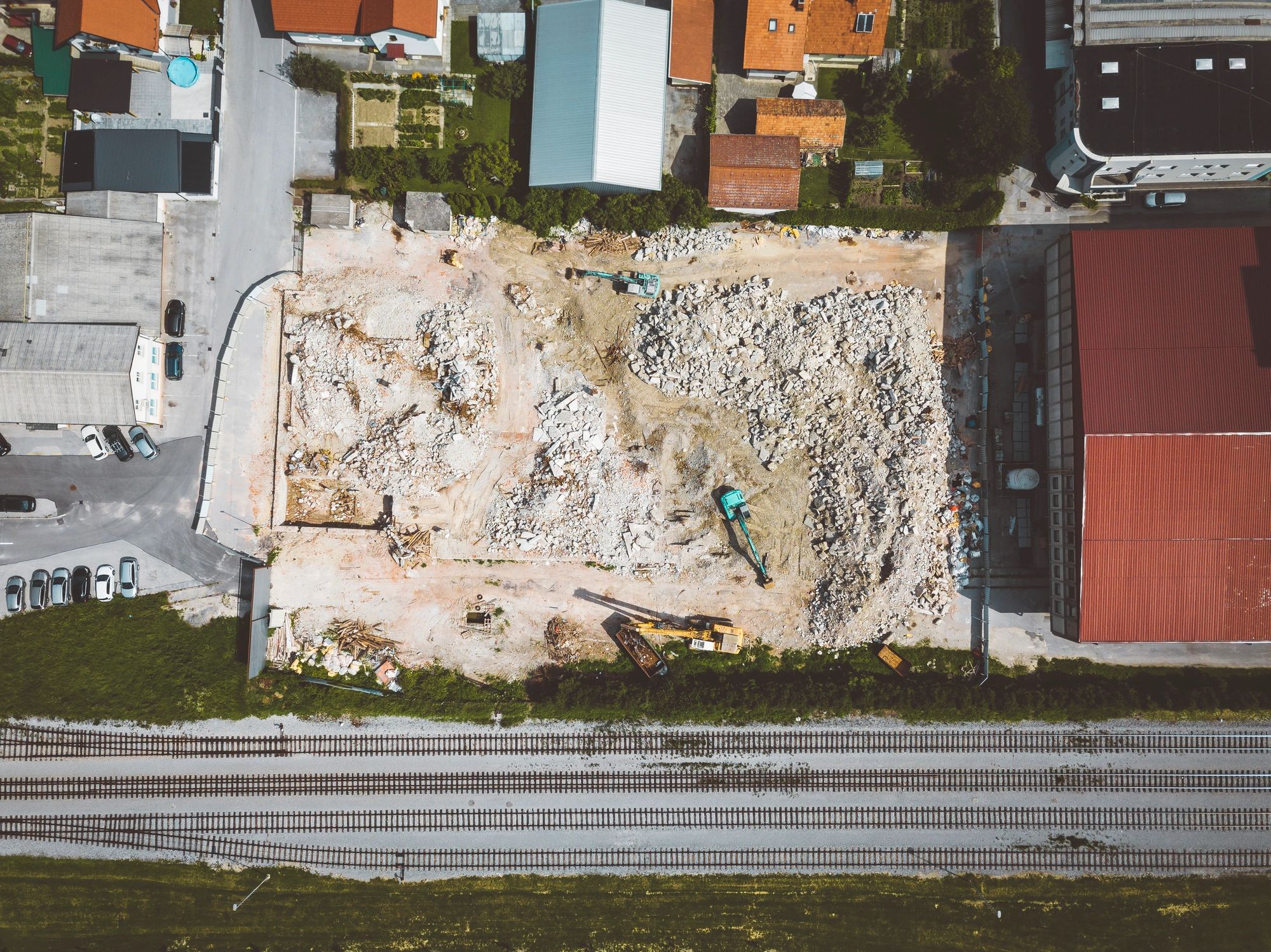
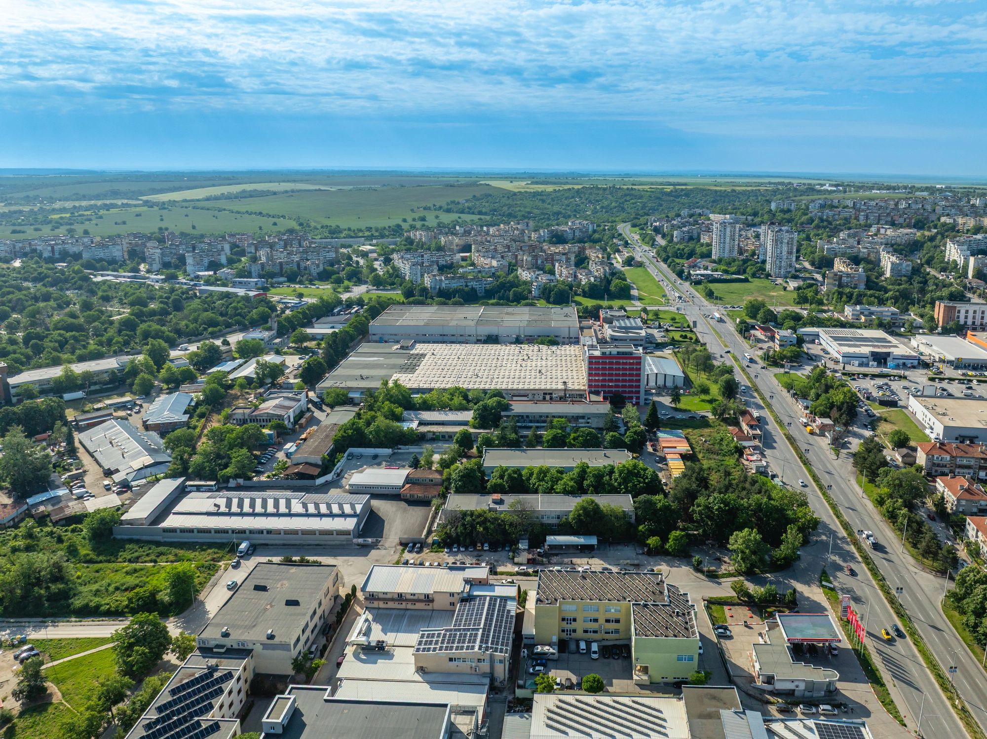
Construction & Civil
Pre-construction site documentation, earthwork tracking, as-builts, and progress reporting for owners and project teams.
Solar
Array documentation, site mapping, and inspection support to identify issues early and reduce downtime.
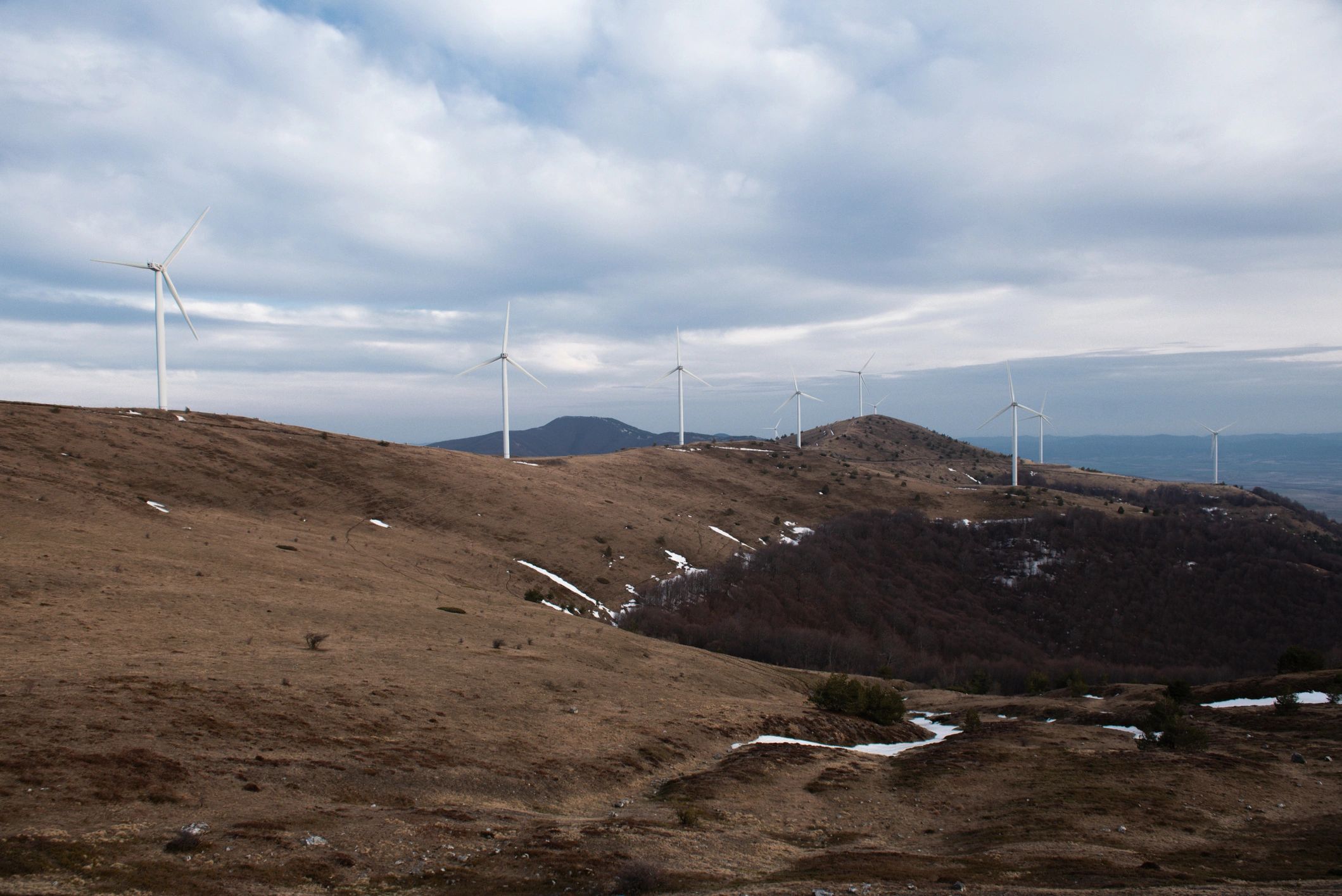
Wind
Turbine visual inspection support and site documentation to improve planning and maintenance decisions.
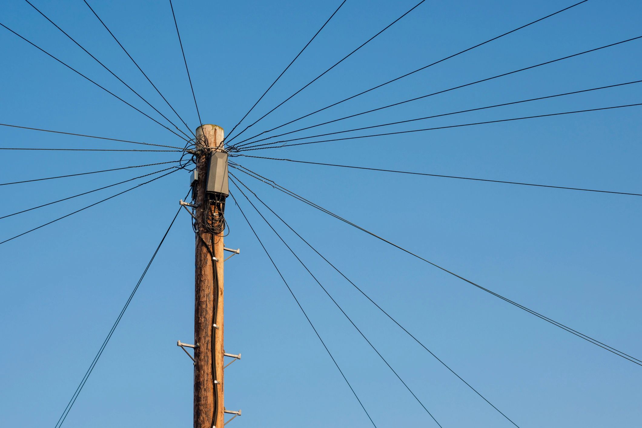
Utilities & Electric Grid
Corridor mapping and asset documentation to support inspection planning and condition tracking.
Telecom & Cell Towers
Structure documentation and close-range visual capture to support maintenance planning and contractor scopes.
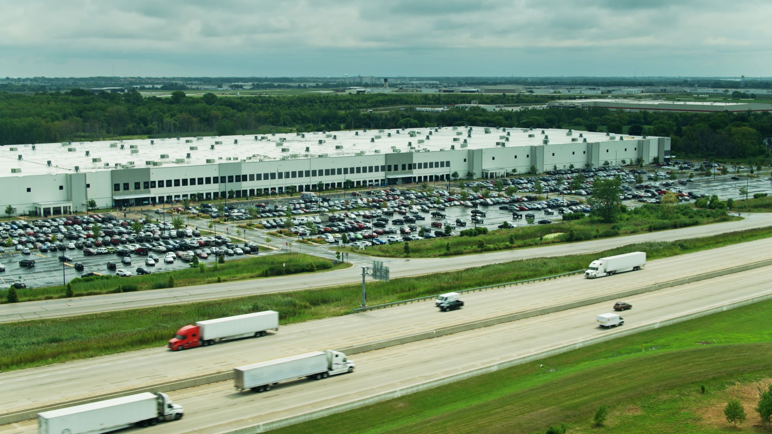
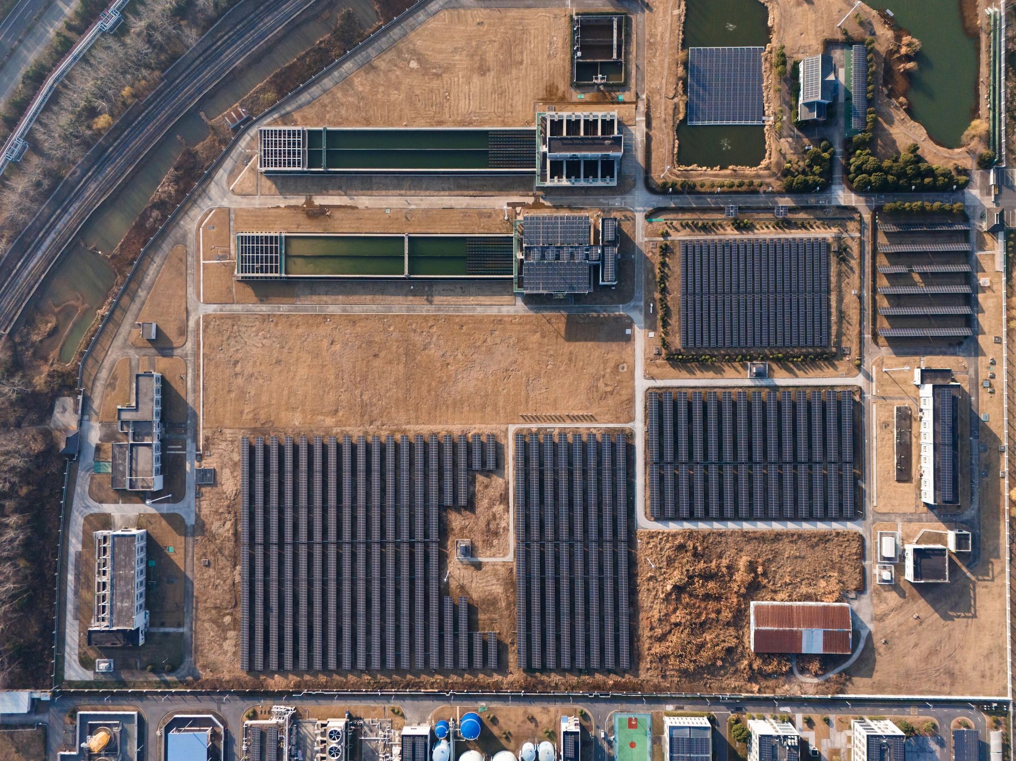
Data Centers & Server Farms
Facility exterior documentation, roof and site condition capture, and project progress monitoring.
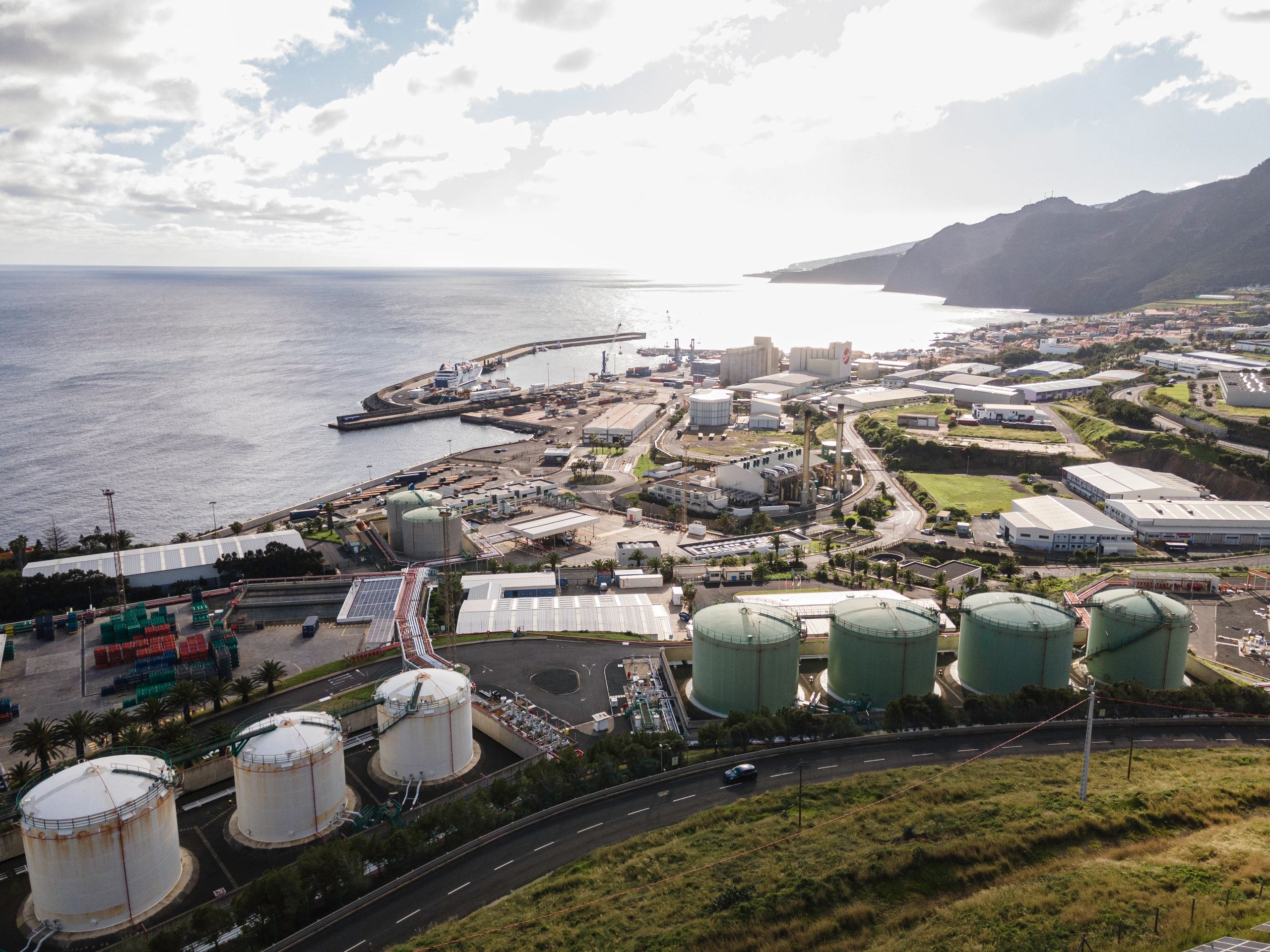
Oil & Natural Gas
From drill site monitoring to facility documentation, we provide aerial mapping and visual reporting that supports planning, safety awareness, and stakeholder communication.
Typical deliverables include orthomosaics, annotated photo sets, and repeatable progress captures aligned to your reporting cadence.