Construction & Civil Documentation
Construction Progress Monitoring
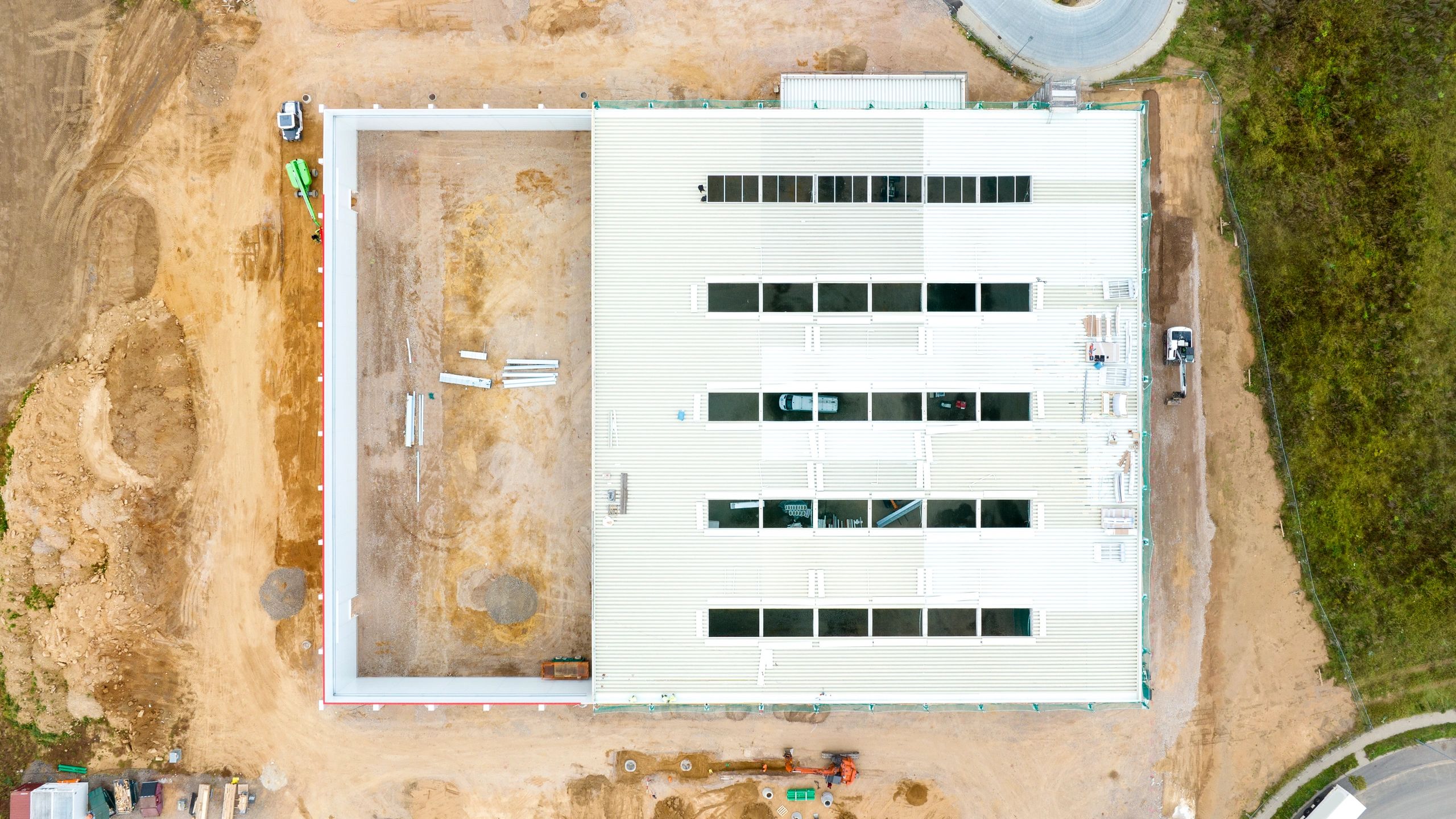
Recurring aerial captures and consistent reporting to document jobsite progress, align stakeholders and reduce disputes with time-stamped visual records—delivered fast by Hermes Drone Solutions LLC.
What you receive
Clear, Consistent Progress Records You Can Trust
Monitoring deliverables
Progress Monitoring Options for Every Project
Select the frequency and deliverables that match your schedule, reporting needs, and stakeholder expectations.
Recurring Aerial Photo Sets
High-resolution photogrammetry and oblique imagery captured on a weekly, biweekly, monthly or milestone basis for consistent visual comparison.
Orthomosaics & Site Maps
Georeferenced orthomosaics for plan overlays, quantity tracking, and clear communication across teams.
3D Models & Point Clouds
Photogrammetry-based 3D deliverables to support documentation, coordination, and as-built progress snapshots.
Issue Capture & Safety Awareness
Targeted imagery of access routes, laydown areas, and site conditions to support coordination and situational awareness.